Fields Point, Providence
Map
Facts and practical information
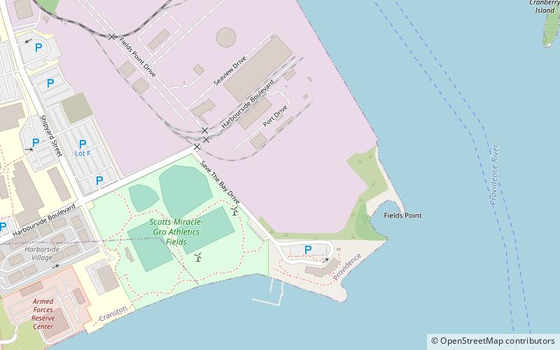
Fields Point is a historic park in the Washington Park neighborhood of Providence, Rhode Island jutting into Narragansett Bay right near the Providence River and Route 95. ()
Elevation: 7 ft a.s.l.Coordinates: 41°47'16"N, 71°22'58"W
Address
Washington ParkProvidence
ContactAdd
Social media
Add
Day trips
Fields Point – popular in the area (distance from the attraction)
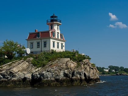
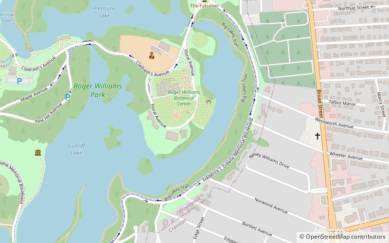
Nearby attractions include: Edgewood Yacht Club, Pomham Rocks Light, Edgewood Lake, Culinary Archives & Museum at Johnson and Wales University.
Frequently Asked Questions (FAQ)
Which popular attractions are close to Fields Point?
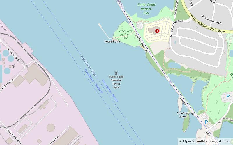
Nearby attractions include Fuller Rock Light, Providence/East Providence (12 min walk), Culinary Archives & Museum at Johnson and Wales University, Cranston (14 min walk), Edgewood Yacht Club, Cranston (24 min walk).

