Wells State Park, Sturbridge
Map

Map

Facts and practical information
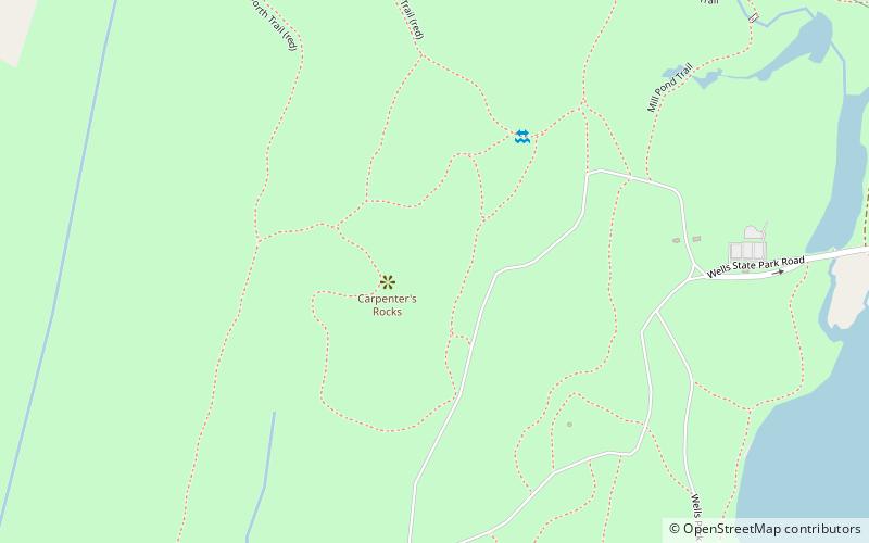
Wells State Park is a public recreation area located off Route 49 in the town of Sturbridge, Massachusetts. The state park includes frontage on Walker Pond and the scenic metamorphic rock cliff face of Carpenter Rocks. Terrain is rugged with ledges interspersed between wetlands. Woodlands are of the oak-hickory forest and northern hardwood forest types with groves of eastern white pine. The park is managed by the Massachusetts Department of Conservation and Recreation. ()
Established: 1968 (58 years ago)Elevation: 715 ft a.s.l.Coordinates: 42°8'47"N, 72°4'1"W
Day trips
Wells State Park – popular in the area (distance from the attraction)
Nearby attractions include: Old Sturbridge Village, Heritage Country Club, East Brimfield Dam, Westville Dam.


