Marietta Historic District, Marietta
Map

Map

Facts and practical information
The Marietta Historic District is a historic district in Marietta, Ohio, United States that is listed on the National Register of Historic Places. Among the buildings in the district are ones dating back to 1788, the year in which Marietta was founded as the first white settlement in what is now Ohio. Among its most significant buildings are the Rufus Putnam House and the Ohio Company Land Office, which are also separately listed on the Register. ()
Built: 1788 (238 years ago)Coordinates: 39°25'5"N, 81°27'19"W
Address
Marietta
ContactAdd
Social media
Add
Day trips
Marietta Historic District – popular in the area (distance from the attraction)
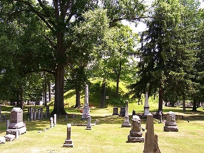
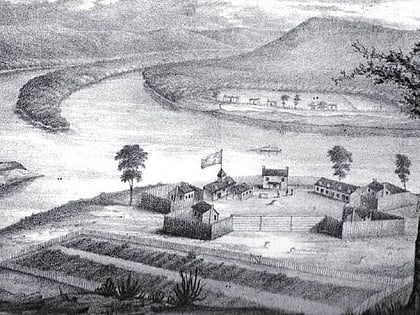
Nearby attractions include: Mound Cemetery, Basilica of St. Mary of the Assumption, Washington State Community College, Fort Harmar.
Frequently Asked Questions (FAQ)
Which popular attractions are close to Marietta Historic District?
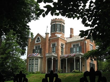
Nearby attractions include Washington County Courthouse, Marietta (5 min walk), The Castle, Marietta (5 min walk), First Unitarian Church of Marietta, Marietta (5 min walk), Peoples Bank Theatre, Marietta (5 min walk).


