Humboldt Street Historic District, Denver
Map

Map

Facts and practical information
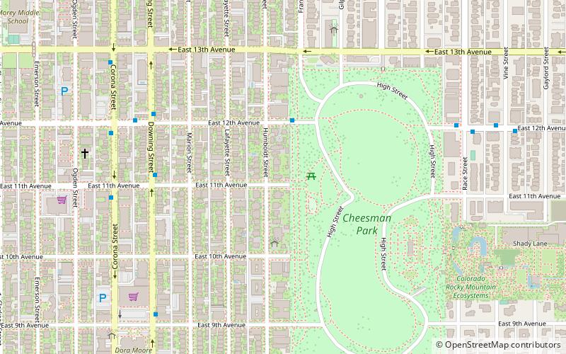
Humboldt Street Historic District, or Humboldt Island, is located west of Cheesman Park in Denver, Colorado on Humboldt Street between East Tenth and Twelfth Streets. It was the first residential district to be designated a historic district by the Denver Landmark Preservation Commission in 1972, and is listed as a historic district on the National Register of Historic Places. ()
Built: 1895 (131 years ago)Elevation: 5341 ft a.s.l.Coordinates: 39°44'2"N, 104°58'8"W
Address
Central Denver (Cheesman Park)Denver
ContactAdd
Social media
Add
Day trips
Humboldt Street Historic District – popular in the area (distance from the attraction)
Nearby attractions include: Denver Botanic Gardens, The Tattered Cover, Molly Brown House Museum, Fillmore Auditorium.
Frequently Asked Questions (FAQ)
Which popular attractions are close to Humboldt Street Historic District?
Nearby attractions include Stoiber-Reed-Humphreys Mansion, Denver (3 min walk), Cheesman Park, Denver (5 min walk), Tears-McFarlane House, Denver (7 min walk), Boettcher Memorial Tropical Conservatory, Denver (12 min walk).
How to get to Humboldt Street Historic District by public transport?
The nearest stations to Humboldt Street Historic District:
Bus
Light rail
Bus
- East 8th Avenue & Humboldt Street • Lines: 6 (9 min walk)
- East Colfax Avenue & Franklin Street • Lines: 15 (11 min walk)
Light rail
- 20th & Welton • Lines: L (35 min walk)
- 18th & California • Lines: D, F, H, L (37 min walk)


