Jewel Lake, Berkeley
Map
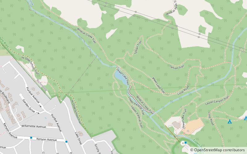
Map

Facts and practical information
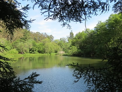
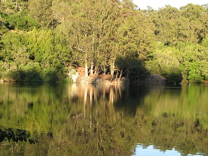
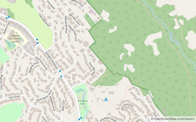
Jewel Lake is a former reservoir and artificial lake along Wildcat Creek, a small stream in Northern California in Tilden Regional Park. It is located in the Wildcat Canyon between the Berkeley Hills and Sobrante Ridge Hills in an unincorporated area closest to Richmond and Kensington, California geographically and Berkeley accessibly. A wooden raised walkway built in the 1970s runs over marshland to the south of the lake. The dam and abandoned flood control machinery are visible at the north end of the lake. ()
Elevation: 515 ft a.s.l.Coordinates: 37°54'45"N, 122°16'8"W
Address
Berkeley
ContactAdd
Social media
Add
Day trips
Jewel Lake – popular in the area (distance from the attraction)
Nearby attractions include: Tilden Park Merry-Go-Round, Blake Garden, Lake Anza, William Rust Summit.
Frequently Asked Questions (FAQ)
How to get to Jewel Lake by public transport?
The nearest stations to Jewel Lake:
Bus
Bus
- Purdue Avenue & Kenyon Avenue • Lines: 67 (9 min walk)
- Tilden Park Enrivonmental Center • Lines: 67 (9 min walk)
