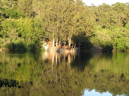
Cragmont, Berkeley
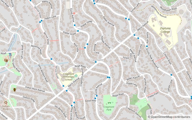
Map
Facts and practical information
The Cragmont area of Berkeley is a residential district located in the northeastern section of the city, occupying most of the hill area north of Codornices Creek. It lies at an elevation of 755 feet. ()
Coordinates: 37°53'43"N, 122°15'54"W
Address
Berkeley Hills (Southampton)Berkeley
ContactAdd
Social media
Add
Day trips
Cragmont – popular in the area (distance from the attraction)
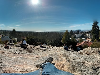
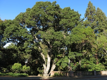
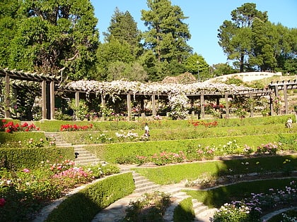
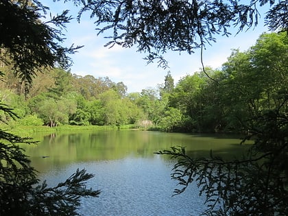
Nearby attractions include: Tilden Park Merry-Go-Round, Lawrence Hall of Science, Indian Rock Park, Live Oak Park.
Frequently Asked Questions (FAQ)
Which popular attractions are close to Cragmont?
Nearby attractions include Indian Rock Park, Berkeley (13 min walk), Northbrae Tunnel, Berkeley (14 min walk), Tilden Park Merry-Go-Round, Berkeley (16 min walk), Berkeley Rose Garden, Berkeley (18 min walk).
How to get to Cragmont by public transport?
The nearest stations to Cragmont:
Bus
Bus
- Euclid Avenue & Marin Avenue • Lines: 65 (1 min walk)


