Prankers Pond, Saugus
Map

Map

Facts and practical information
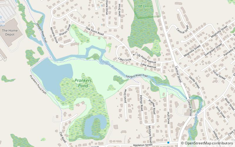
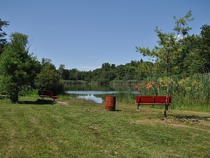
Prankers Pond is one of the largest lakes in Saugus, Massachusetts, United States. It is the center of a recreational area that also includes hiking and picnicking areas. The pond lies east of U.S. Route 1 and southwest of Birch Pond. Named for Edward Pranker, the owner of the Pranker Mills at the pond, it lies at 42.4745403°N 71.0125512°W / 42.4745403; -71.0125512, at an elevation of 26 feet. ()
Length: 4224 ftElevation: 26 ft a.s.l.Coordinates: 42°28'28"N, 71°0'45"W
Address
Saugus (Downtown Saugus)Saugus
ContactAdd
Social media
Add
Day trips
Prankers Pond – popular in the area (distance from the attraction)
Nearby attractions include: Saugus Iron Works National Historic Site, Square One Mall, Saugus Town Hall, Breakheart Reservation.
Frequently Asked Questions (FAQ)
Which popular attractions are close to Prankers Pond?
Nearby attractions include Saugus Iron Works National Historic Site, Saugus (12 min walk), Saugus Town Hall, Saugus (17 min walk).


