Lynn Fells Parkway, Stoneham
Map

Map

Facts and practical information
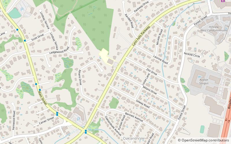
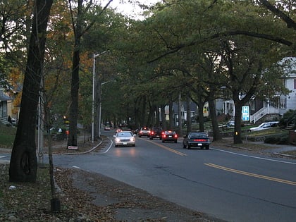
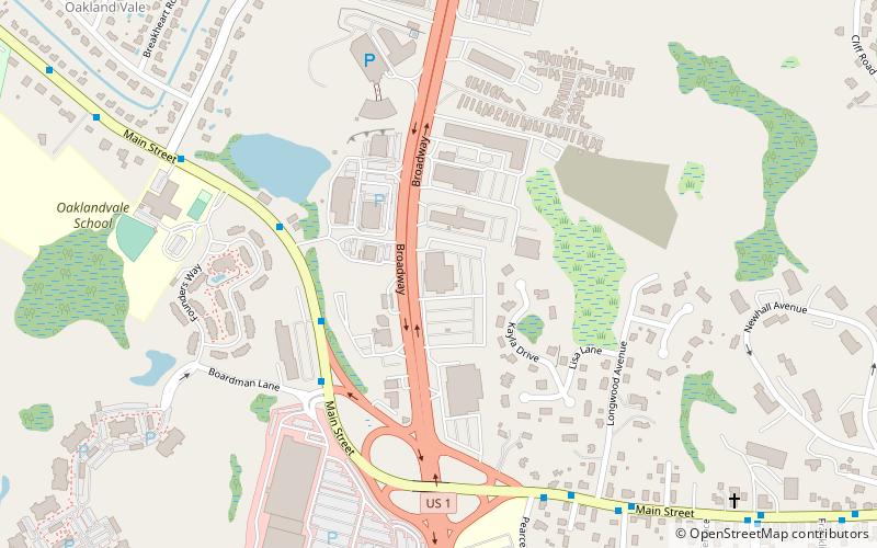
Lynn Fells Parkway is a parkway in Greater Boston, Massachusetts, in the United States. It is maintained by the Massachusetts Department of Conservation and Recreation. The road runs from the end of Fellsway East in Stoneham, eastward through Melrose, and ends in Saugus at US Route 1. The parkway serves as a connector between the Middlesex Fells Reservation and Breakheart Reservation. ()
Length: 4 miElevation: 56 ft a.s.l.Coordinates: 42°28'31"N, 71°1'58"W
Address
Saugus (Oakland Vale)Stoneham
ContactAdd
Social media
Add
Day trips
Lynn Fells Parkway – popular in the area (distance from the attraction)
Nearby attractions include: Saugus Iron Works National Historic Site, Square One Mall, Saugus Town Hall, Breakheart Reservation.
Frequently Asked Questions (FAQ)
Which popular attractions are close to Lynn Fells Parkway?
Nearby attractions include Boardman House, Saugus (9 min walk), Breakheart Reservation, Saugus (21 min walk).


