Indiana Government Center North, Indianapolis
Map
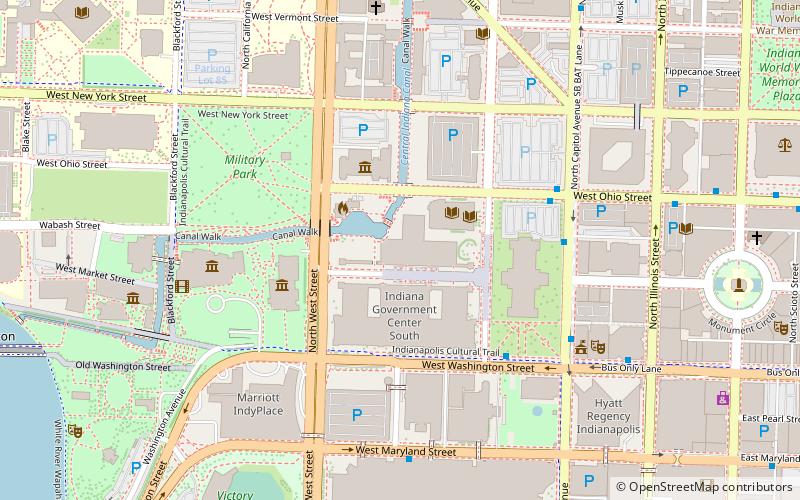
Map

Facts and practical information
Indiana Government Center North is a high rise in Indianapolis, Indiana. It was completed in 1960 and has 14 floors. It is primarily used for office spaces for the government of Indiana. Extensive remodeling and renovation of the building made in conjunction with the construction of the adjacent Indiana Government Center South building was completed in 1993. ()
Completed: 1960 (66 years ago)Floors: 14Coordinates: 39°46'9"N, 86°9'55"W
Address
Downtown Indianapolis (Canal and White River State Park District)Indianapolis
ContactAdd
Social media
Add
Day trips
Indiana Government Center North – popular in the area (distance from the attraction)
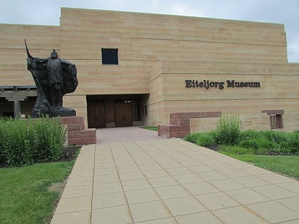
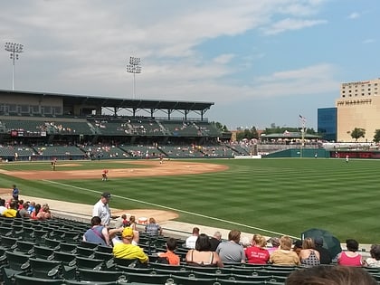
Nearby attractions include: Circle Centre Mall, Eiteljorg Museum of American Indians and Western Art, Victory Field, Indiana State Museum.
Frequently Asked Questions (FAQ)
Which popular attractions are close to Indiana Government Center North?
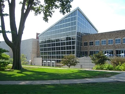
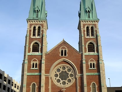
Nearby attractions include Indiana 9/11 Memorial, Indianapolis (2 min walk), Indiana State Library, Indianapolis (2 min walk), Indiana Historical Society, Indianapolis (3 min walk), Eiteljorg Museum of American Indians and Western Art, Indianapolis (4 min walk).
How to get to Indiana Government Center North by public transport?
The nearest stations to Indiana Government Center North:
Bus
Train
Bus
- Indianapolis Union Station (14 min walk)
- G • Lines: 39 (16 min walk)
Train
- Indianapolis Union Station (15 min walk)
- Indiana University/Riley (22 min walk)


