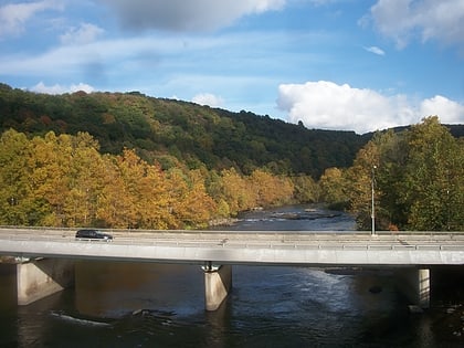
Ohiopyle Highway Bridge, Ohiopyle
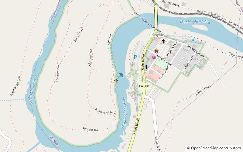
Map
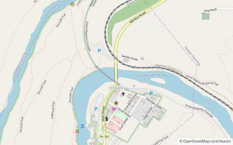
Map

Facts and practical information
The Ohiopyle Highway Bridge is a structure that carries two lanes of Pennsylvania Route 381 Youghiogheny River in Ohiopyle, Pennsylvania ()
Opened: 1976 (50 years ago)Length: 663 ftCoordinates: 39°52'15"N, 79°29'34"W
Address
Ohiopyle
ContactAdd
Social media
Add
Day trips
Ohiopyle Highway Bridge – popular in the area (distance from the attraction)
Nearby attractions include: Ohiopyle Falls, Ohiopyle Low Bridge, Sugarloaf Knob, Fallingwater.
Frequently Asked Questions (FAQ)
Which popular attractions are close to Ohiopyle Highway Bridge?
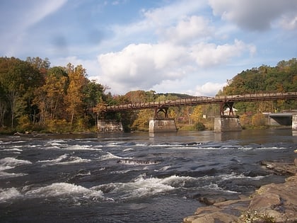
Nearby attractions include Ohiopyle Low Bridge, Ohiopyle (2 min walk), Ohiopyle Falls, Ohiopyle (7 min walk).
