Sugarloaf Knob, Ohiopyle State Park

Gallery (2)
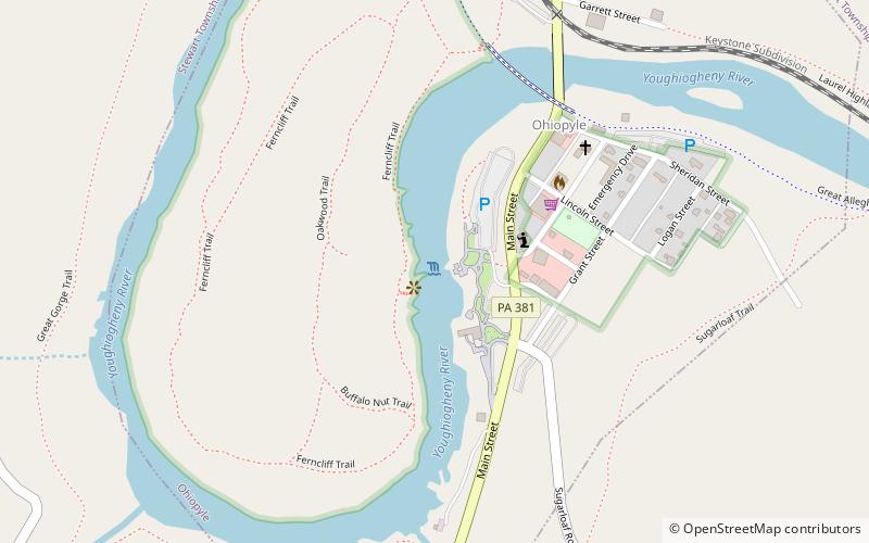
Map
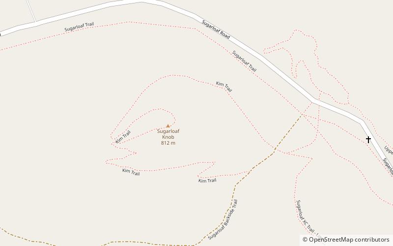
Map
Gallery
Facts and practical information
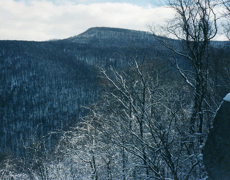
Sugarloaf Knob is a well-known summit within Ohiopyle State Park on the south end of the Laurel Ridge. This mountain has a unique profile and can easily be recognized at different lookouts in the park and surrounding area. The Youghiogheny River cuts beneath the "knob" and Laurel Hill creating a 1,700-foot deep chasm. The highest peak in the area is the south end of the Laurel Hill Ridge as it reaches 2,920 ft above sea level. ()
Elevation: 2667 ftProminence: 240 ftCoordinates: 39°49'53"N, 79°27'49"W
Address
Ohiopyle State Park
ContactAdd
Social media
Add
Day trips