Bloomfield Bridge, Pittsburgh
Map

Gallery

Facts and practical information
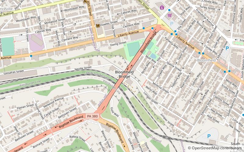
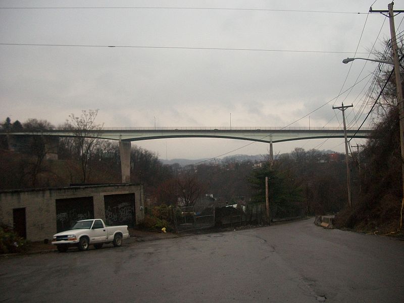
The Bloomfield Bridge is a bridge in Pittsburgh, Pennsylvania, which carries four lanes of traffic across Skunk Hollow, a steep ravine between the densely populated neighborhoods of Bloomfield and Polish Hill. ()
Opened: 1986 (40 years ago)Length: 1535 ftCoordinates: 40°27'39"N, 79°57'20"W
Address
Under The Bloomfield BridgeEast End (Lower Lawrenceville)Pittsburgh
ContactAdd
Social media
Add
Day trips
Bloomfield Bridge – popular in the area (distance from the attraction)
Nearby attractions include: Carnegie Museums of Pittsburgh, Immaculate Heart of Mary Church, Bellefield Hall, The Doughboy.
Frequently Asked Questions (FAQ)
Which popular attractions are close to Bloomfield Bridge?
Nearby attractions include Bloomfield, Pittsburgh (9 min walk), The Church Brew Works, Pittsburgh (13 min walk), Foster School, Pittsburgh (13 min walk), Allegheny Arsenal, Pittsburgh (13 min walk).
How to get to Bloomfield Bridge by public transport?
The nearest stations to Bloomfield Bridge:
Bus
Bus
- Herron Station (16 min walk)
- Centre Ave at Melwood • Lines: 54C (17 min walk)


