Fargo-Moorhead Toll Bridge, Fargo
Map

Map

Facts and practical information
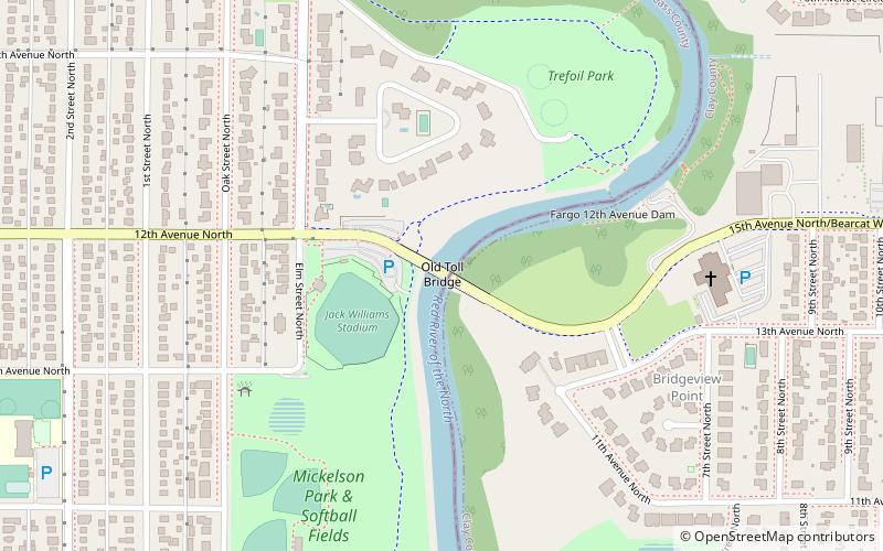
The Fargo-Moorhead Toll Bridge is a former toll bridge on the Red River of the North between Fargo, North Dakota and Moorhead, Minnesota. It connects Moorhead's 15th Avenue N with Fargo's 12th Avenue N. ()
Opened: 1988 (38 years ago)Coordinates: 46°53'23"N, 96°46'28"W
Day trips
Fargo-Moorhead Toll Bridge – popular in the area (distance from the attraction)
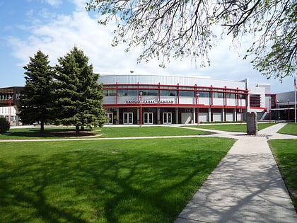
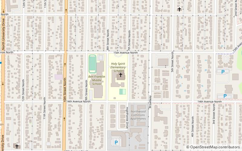
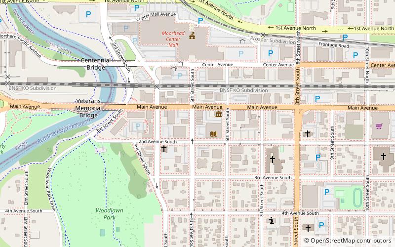
Nearby attractions include: Hjemkomst Center, Fargo Civic Center, Holy Spirit Catholic Church, Fargo Theatre.
Frequently Asked Questions (FAQ)
Which popular attractions are close to Fargo-Moorhead Toll Bridge?
Nearby attractions include Fargo Oak Grove Residential Historic District, Fargo (12 min walk), Hjemkomst Center, Moorhead (22 min walk), Cathedral of St. Mary, Fargo (22 min walk), Holy Spirit Catholic Church, Fargo (22 min walk).
How to get to Fargo-Moorhead Toll Bridge by public transport?
The nearest stations to Fargo-Moorhead Toll Bridge:
Train
Bus
Train
- Fargo (21 min walk)
- Main Avenue Depot Building (33 min walk)
Bus
- Ground Transportion Center (29 min walk)


