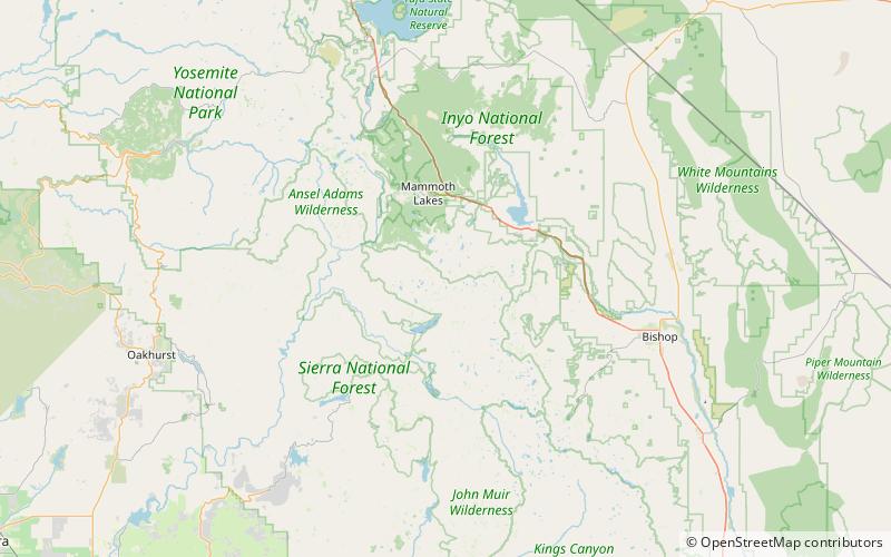
Squaw Lake, John Muir Wilderness
Map

Map

Facts and practical information
Squaw Lake is a small lake in the eastern Sierra Nevada, near the John Muir Trail in John Muir Wilderness. It is located 1.8 miles west-northwest of Mount Izack Walton and 5 miles north-northeast of Lake Thomas A Edison. at an altitude of 10,315 feet. The outflow of Squaw Lake becomes Fish Creek, which eventually joins the Middle Fork of the San Joaquin River. The name is controversial because squaw is an ethnic and sexual slur, historically used for indigenous North American women. ()
Elevation: 10312 ft a.s.l.Coordinates: 37°28'37"N, 118°55'23"W
Address
John Muir Wilderness
ContactAdd
Social media
Add
Day trips
Squaw Lake – popular in the area (distance from the attraction)
Nearby attractions include: Lake Virginia, Red Slate Mountain, Lake of the Lone Indian.


