John Muir Trail, Yosemite National Park


Facts and practical information
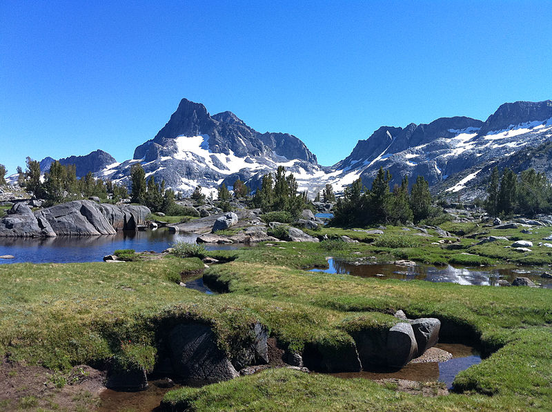
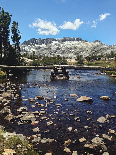
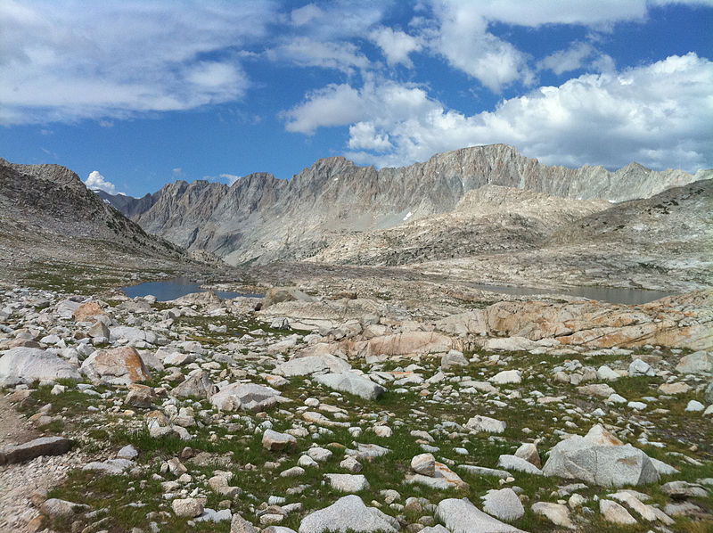
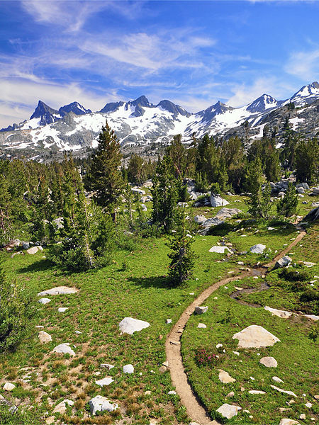
The John Muir Trail is a breathtaking trek through the Sierra Nevada mountain range, primarily within the wilderness of Yosemite National Park, United States. Named in honor of the naturalist John Muir, the trail is a haven for hikers and nature enthusiasts. Stretching over 210 miles from Yosemite Valley to Mount Whitney, it winds through some of the most stunning landscapes North America has to offer.
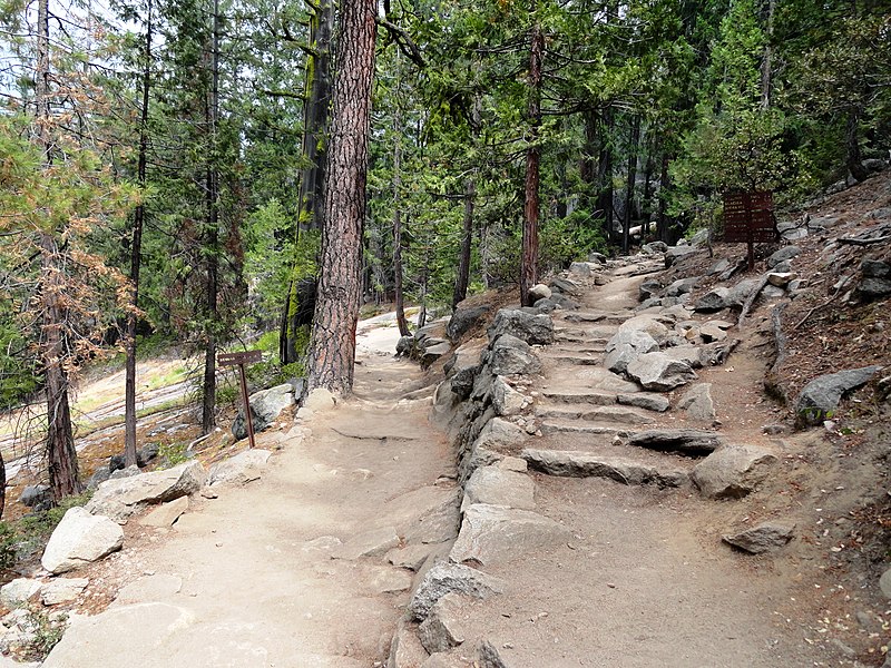
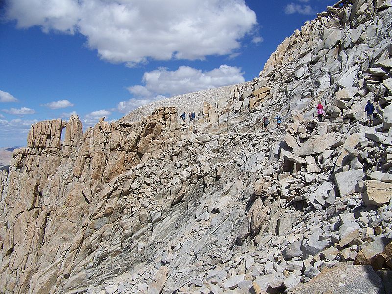
The trail passes through a variety of terrains, including alpine and high mountain settings. Hikers can immerse themselves in the beauty of lush meadows, sparkling lakes, and granite cliffs. The route also traverses through the Ansel Adams Wilderness, Sequoia National Park, and King's Canyon National Park, offering a diverse range of ecosystems and wildlife.
For those planning to undertake this challenging journey, it generally takes about three weeks to complete the entire trail. However, many opt for shorter sections, with the most popular being the trek to Half Dome or the scenic stretch from Tuolumne Meadows to Devils Postpile National Monument.
Preparation is key when tackling the John Muir Trail. Permits are required for overnight stays, and hikers must be self-sufficient, carrying all necessary supplies for the duration of their hike. The best time to go is from late June to early October, when the snow has melted and the weather is most favorable.
Yosemite National Park
- Bus
 Bus
Bus
- Calculate routeValley Shuttle Stop #16 2 min walk


Frequently Asked Questions (FAQ)
Which popular attractions are close to John Muir Trail?
How to get to John Muir Trail by public transport?
Bus
- Valley Shuttle Stop #16 • Lines: Yosemite Valley Shuttle (2 min walk)