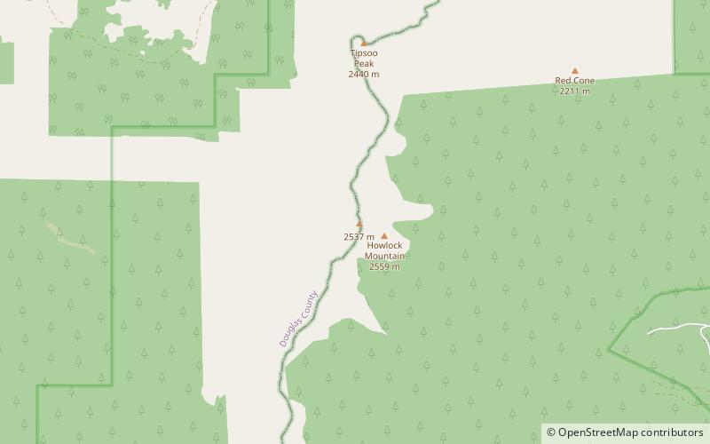
Howlock Mountain, Mount Thielsen Wilderness

Map
Facts and practical information
Howlock Mountain is a heavily eroded shield volcano in the Cascade Range of central Oregon, located along the Cascade Crest just north of Mount Thielsen. Ice Age glaciers eroded away most of the flanks of the volcano, leaving numerous deep cirques surrounding a central ridge capped by several horns. The summit of Howlock Mountain lies along the border between Douglas County and Klamath County. ()
Elevation: 8401 ftProminence: 876 ftCoordinates: 43°11'33"N, 122°2'24"W
Address
Mount Thielsen Wilderness
ContactAdd
Social media
Add
Day trips
Howlock Mountain – popular in the area (distance from the attraction)
Nearby attractions include: Mount Thielsen, Cinnamon Butte, Miller Lake, Lathrop Glacier.


