Cinnamon Butte, Umpqua National Forest
Map

Map

Facts and practical information
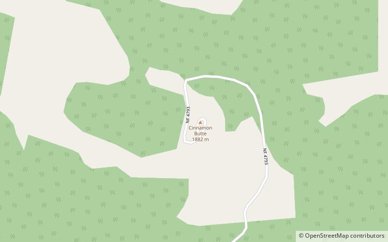
Cinnamon Butte is a group of cinder cone volcanoes and lava domes in the Cascade Range of Oregon. All of the vents are older than approximately 6,845 years as they are all covered in ash from the eruption of Mount Mazama. ()
Elevation: 6427 ftCoordinates: 43°14'28"N, 122°6'36"W
Day trips
Cinnamon Butte – popular in the area (distance from the attraction)
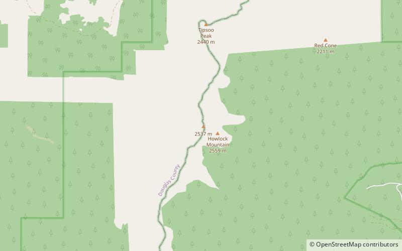
Nearby attractions include: Lemolo Lake, Howlock Mountain, Maidu Lake.


