Middlebury Gap, Green Mountain National Forest

Map
Facts and practical information
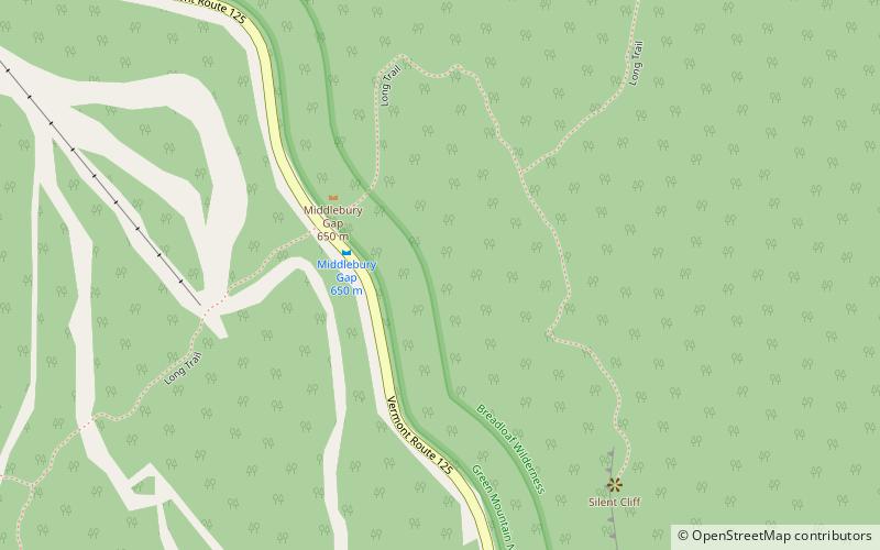
Middlebury Gap, is a mountain pass in the Green Mountains of Vermont. The height of land of the pass is located in Addison County. ()
Maximum elevation: 2144 ftCoordinates: 43°56'11"N, 72°56'52"W
Address
Green Mountain National Forest
ContactAdd
Social media
Add
Day trips
Middlebury Gap – popular in the area (distance from the attraction)
Nearby attractions include: Middlebury College Snow Bowl, Bread Loaf Mountain, Mount Wilson, Bread Loaf.


