Soco Gap, Three Ridges Wilderness
Map

Map

Facts and practical information
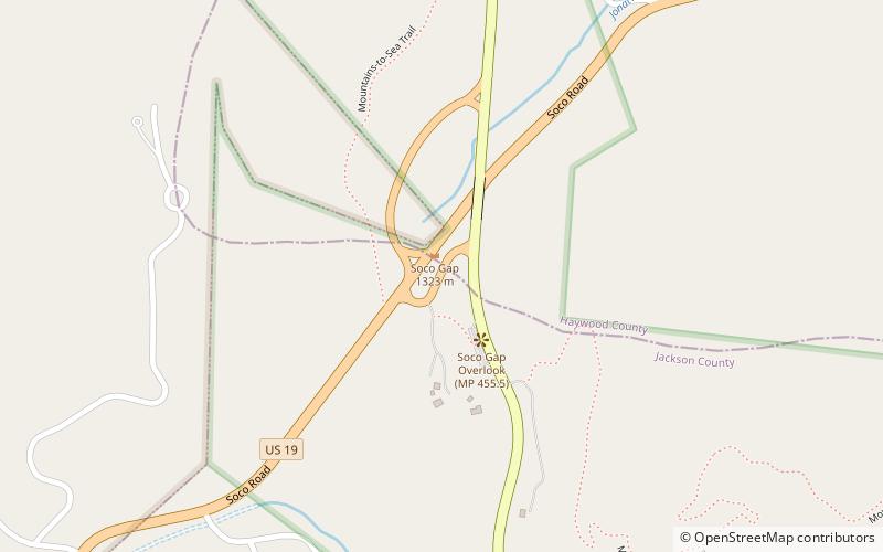
Soco Gap is a mountain pass between the Plott Balsam Range, to its south, and the Balsam Mountains, to its north. Also known as Ahalunun'yi, meaning "Ambush Place" or Uni'halu'na, meaning "where they ambushed;" named after the occasion, probably in the mid 1700s, when the Cherokees ambushed a party of invading Shawnees, all of which were killed except for one, who was sent back to tell his people of the Cherokee victory. ()
Maximum elevation: 4340 ftCoordinates: 35°29'43"N, 83°9'23"W
Address
Three Ridges Wilderness
ContactAdd
Social media
Add
Day trips
Soco Gap – popular in the area (distance from the attraction)
Nearby attractions include: Cataloochee Ski Area, Waterrock Knob, Miss Caroline's Country Wedding Chapel and Country Cabins, Balsam Gap.


