Balsam Gap, Three Ridges Wilderness

Map
Facts and practical information
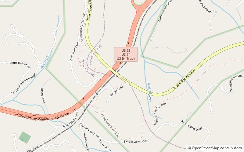
Balsam Gap is a mountain pass between the Plott Balsam Range to the northwest and the Great Balsam Mountains to the southeast on the county line dividing Haywood and Jackson counties in the U.S. state of North Carolina. ()
Maximum elevation: 3316 ftCoordinates: 35°26'2"N, 83°4'39"W
Address
Three Ridges Wilderness
ContactAdd
Social media
Add
Day trips
Balsam Gap – popular in the area (distance from the attraction)
Nearby attractions include: Waterrock Knob, Richland Balsam, Waynesville Municipal Building, Shelton House.


