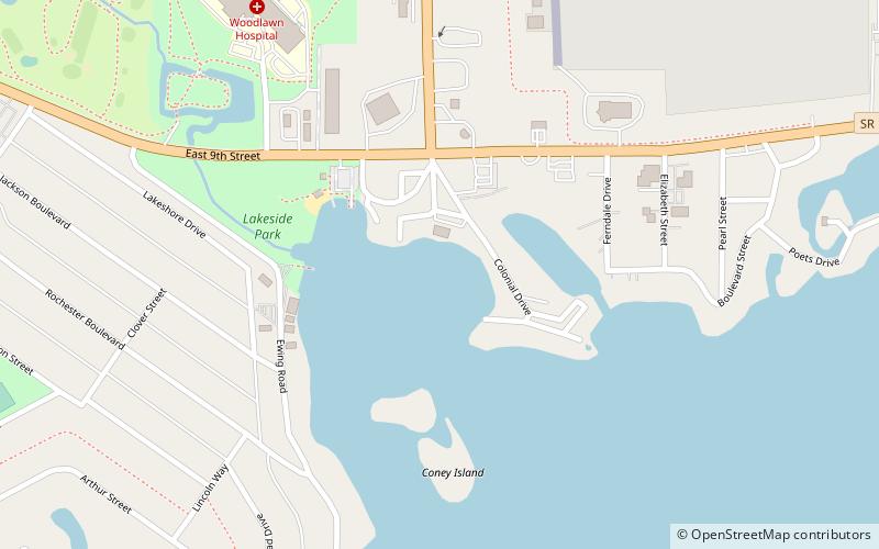
Lake Manitou, Rochester
Map

Map

Facts and practical information
Lake Manitou is a man-made lake in Rochester, Indiana, created in 1827 by the federal government of the United States for the Potowatomi Native American tribe. The lake was created as a part of the treaty with the Potowatomi that required the U.S. government to create a mill for Potowatomi use. The Potowatomi originally called the lake Man-I-Toe which translated to the Devil's Lake due to the belief that a monster lived in the lake. The lake contains about 775 acres of open water, with a maximum depth of 65 feet. ()
Maximum depth: 55 ftElevation: 774 ft a.s.l.Coordinates: 41°3'36"N, 86°11'32"W
Day trips
Lake Manitou – popular in the area (distance from the attraction)
Nearby attractions include: Fulton County Courthouse.

