Fort Woodbury, Arlington
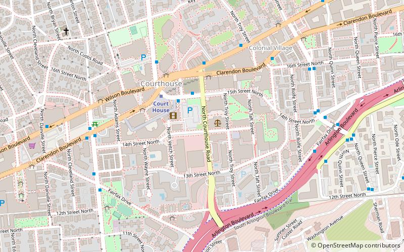
Map
Facts and practical information
Fort Woodbury was part of the Arlington Line, an extensive network of fortifications erected in present-day Arlington County, Virginia to protect Washington, D.C. from Confederate attack during the American Civil War. Construction began on the Arlington Line in May 1861, shortly after war broke out, and accelerated after the Union's defeat at the First Battle of Bull Run in July 1861. ()
Built: 1861 (165 years ago)Demolished: 1865Coordinates: 38°53'23"N, 77°5'2"W
Address
North Arlington (Clarendon - Courthouse)Arlington
ContactAdd
Social media
Add
Day trips
Fort Woodbury – popular in the area (distance from the attraction)
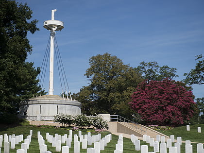
Nearby attractions include: Marine Corps War Memorial, John F. Kennedy Eternal Flame, Arlington House, USS Maine Mast Memorial.
Frequently Asked Questions (FAQ)
Which popular attractions are close to Fort Woodbury?
Nearby attractions include Colonial Village, Arlington (8 min walk), Lee Gardens North Historic District, Arlington (9 min walk), Arlington National Cemetery, Arlington (15 min walk), Lyon Village, Arlington (16 min walk).
How to get to Fort Woodbury by public transport?
The nearest stations to Fort Woodbury:
Bus
Metro
Bus
- Court House Metro, Arlington County Offices • Lines: 41, 62, 77 (3 min walk)
- Clarendon Blvd at N Courthouse Rd • Lines: 4B, 61B (3 min walk)
Metro
- Court House • Lines: Or, Sv (3 min walk)
- Clarendon • Lines: Or, Sv (17 min walk)


