Freedom Park, Arlington
Map
Gallery
Facts and practical information
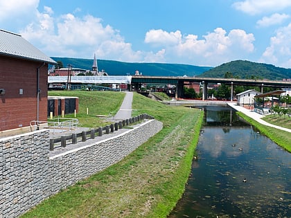
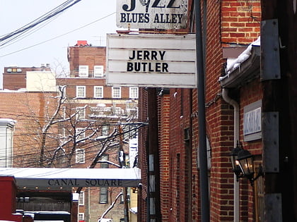
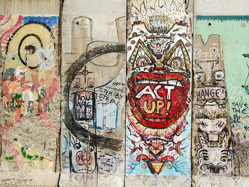
Freedom Park is a two block long elevated linear park in the Rosslyn section of Arlington, Virginia. It was built on an elevated concrete structure originally constructed for use as an automobile overpass, and as such, rises above and over the surrounding streets. ()
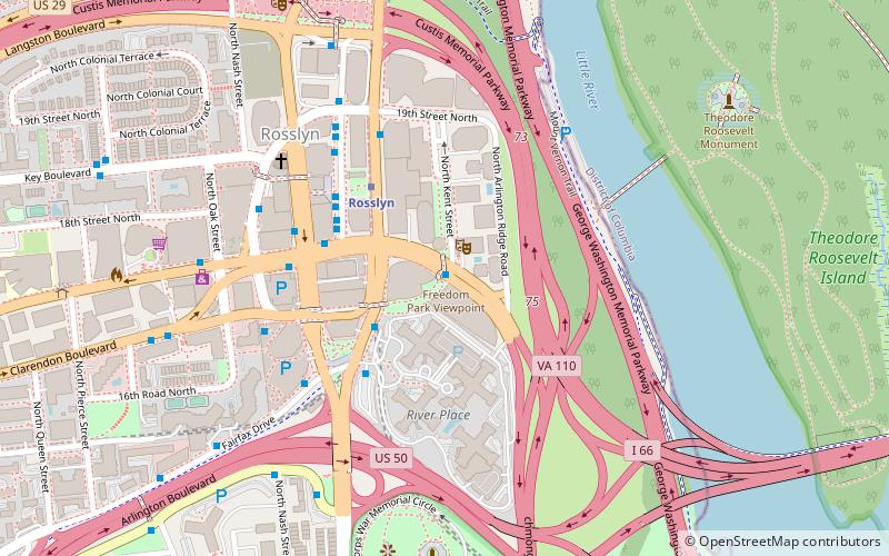
Created: 1994Elevation: 59 ft a.s.l.Coordinates: 38°53'41"N, 77°4'10"W
Address
1101 Wilson BlvdNorth Arlington (Radnor - Fort Myer Heights)Arlington
Contact
Social media
Add
Day trips
Freedom Park – popular in the area (distance from the attraction)
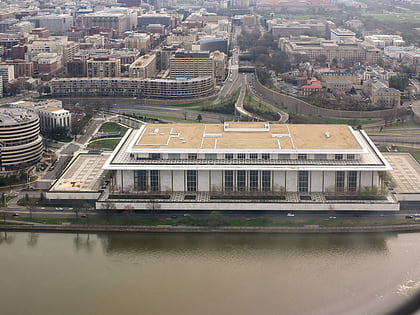
Nearby attractions include: Marine Corps War Memorial, Washington Harbour, Georgetown Park, John F. Kennedy Center for the Performing Arts.
Frequently Asked Questions (FAQ)
Which popular attractions are close to Freedom Park?
Nearby attractions include Artisphere, Arlington (2 min walk), Rosslyn Twin Towers, Arlington (2 min walk), Rosslyn, Arlington (6 min walk), Marine Corps War Memorial, Arlington (8 min walk).
How to get to Freedom Park by public transport?
The nearest stations to Freedom Park:
Bus
Metro
Bus
- Lynn St & Wilson Blvd • Lines: 4A (3 min walk)
- Rosslyn Metro Bay G • Lines: 45, 61A, 61B (4 min walk)
Metro
- Rosslyn • Lines: Bl, Or, Sv (4 min walk)
- Arlington Cemetery • Lines: Bl (20 min walk)


