Geary Boulevard, San Francisco
Facts and practical information
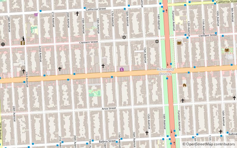
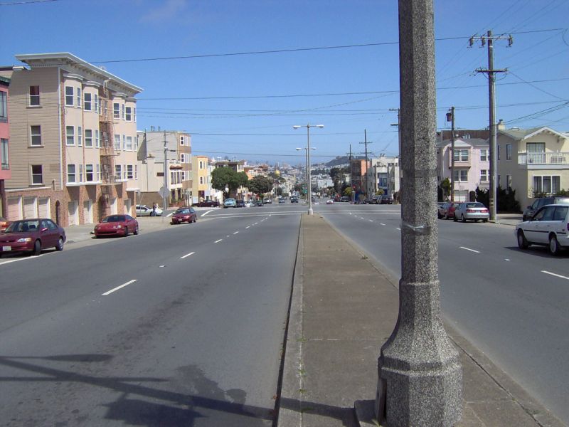
Geary Boulevard is a major east–west 5.8-mile-long thoroughfare in San Francisco, California, United States, beginning downtown at Market Street near Market Street's intersection with Kearny Street, and running westbound through downtown, the Civic Center area, the Western Addition, and running for most of its length through the predominantly residential Richmond District. Geary Boulevard terminates near Sutro Heights Park at 48th Avenue, close to the Cliff House above Ocean Beach at the Pacific Ocean. At 42nd Avenue, Geary intersects with Point Lobos Avenue, which takes through traffic to the Cliff House, Ocean Beach and the Great Highway. It is a major commercial artery through the Richmond District; it is lined with stores and restaurants, many of them catering to the various immigrant groups who live in the area. The boulevard borders Japantown between Fillmore and Laguna Streets. ()
Northwest San Francisco (Inner Richmond)San Francisco
Geary Boulevard – popular in the area (distance from the attraction)
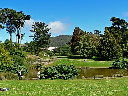
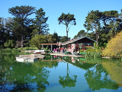
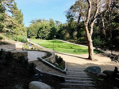
Nearby attractions include: de Young Museum, California Academy of Sciences, Golden Gate Park, Japanese Tea Garden.
Frequently Asked Questions (FAQ)
Which popular attractions are close to Geary Boulevard?
How to get to Geary Boulevard by public transport?
Bus
- Geary Boulevard & 17th Avenue • Lines: 38 (1 min walk)
- Geary Boulevard & Park Presidio Boulevard • Lines: 38, 38R (5 min walk)
Trolleybus
- California Street & 16th Avenue • Lines: 1 (7 min walk)
Light rail
- Irving Street & 8th Avenue • Lines: N (33 min walk)
Train
- UCSF Parnassus (38 min walk)

 Muni Metro


