Elmwood Park, Omaha
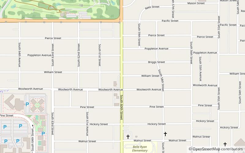
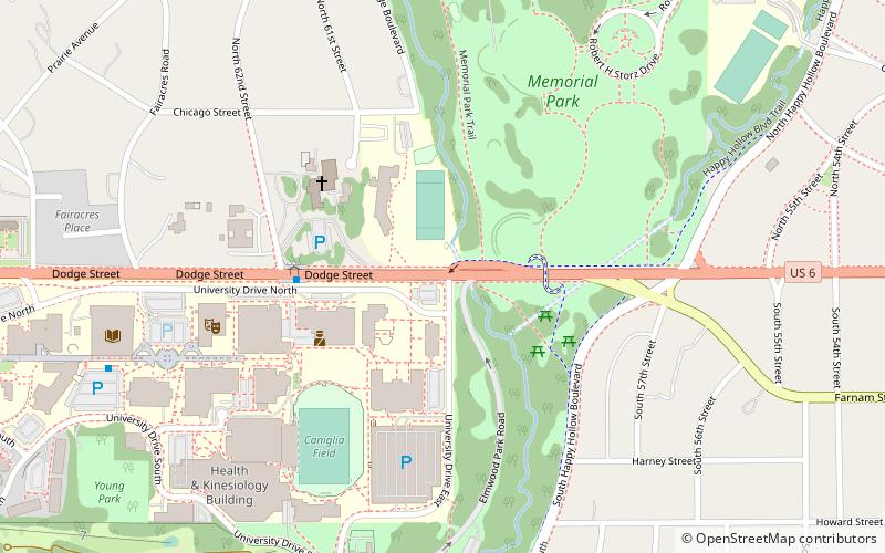
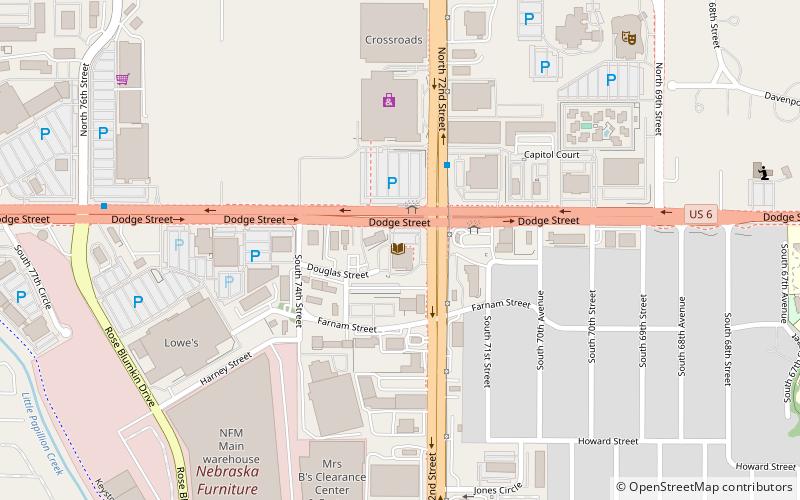
Map

Map

Facts and practical information
The Elmwood Park neighborhood in Omaha, Nebraska is a historically significant area that was developed in the late 19th and early 20th century. It extends from Leavenworth Street on the north to Center Street on the south; from South 50th Street on the east to South 72nd Street on the west. Home to ethnic Swede celebrations through the 1950s, today the neighborhood's park hosts the city's "Shakespeare on the Green" festival. ()
Created: 1889Elevation: 1102 ft a.s.l.Coordinates: 41°14'45"N, 96°0'17"W
Address
Aksarben - Elmwood ParkOmaha
ContactAdd
Social media
Add
Day trips
Elmwood Park – popular in the area (distance from the attraction)
Nearby attractions include: Baxter Arena, Crossroads Mall, Memorial Park, University of Nebraska Omaha.
Frequently Asked Questions (FAQ)
Which popular attractions are close to Elmwood Park?
Nearby attractions include Elmwood Tower, Omaha (18 min walk), Stinson Park, Omaha (20 min walk), Aksarben Village, Omaha (20 min walk), Baxter Arena, Omaha (21 min walk).
How to get to Elmwood Park by public transport?
The nearest stations to Elmwood Park:
Bus
Bus
- Ollie the Trolley (16 min walk)
- 62nd & Dodge • Lines: 2 (25 min walk)


