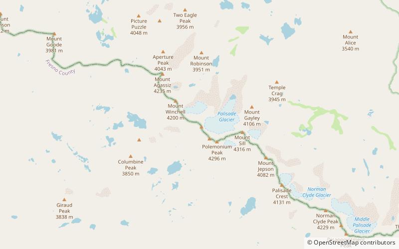
Thunderbolt Peak, John Muir Wilderness
Map

Map

Facts and practical information
Thunderbolt Peak is a peak in the Palisades group of peaks in the Sierra Nevada in the U.S. state of California. It rises to 14,009 feet and could be considered the thirteenth-highest peak in the state, but since the peak has less than 300 feet of prominence it is usually considered a subsidiary peak of North Palisade. But if it is considered a separate mountain peak, Thunderbolt Peak is the northernmost fourteener in the Sierra Nevada. ()
First ascent: 1931Elevation: 14009 ftProminence: 203 ftCoordinates: 37°5'53"N, 118°31'5"W
Address
John Muir Wilderness
ContactAdd
Social media
Add
Day trips
Thunderbolt Peak – popular in the area (distance from the attraction)
Nearby attractions include: Mount Sill, Mount Agassiz, Mount Winchell, North Palisade.
Frequently Asked Questions (FAQ)
Which popular attractions are close to Thunderbolt Peak?
Nearby attractions include Palisades, John Muir Wilderness (9 min walk), North Palisade, Kings Canyon National Park (9 min walk), Palisade Glacier, John Muir Wilderness (12 min walk), Mount Winchell, Kings Canyon National Park (15 min walk).


