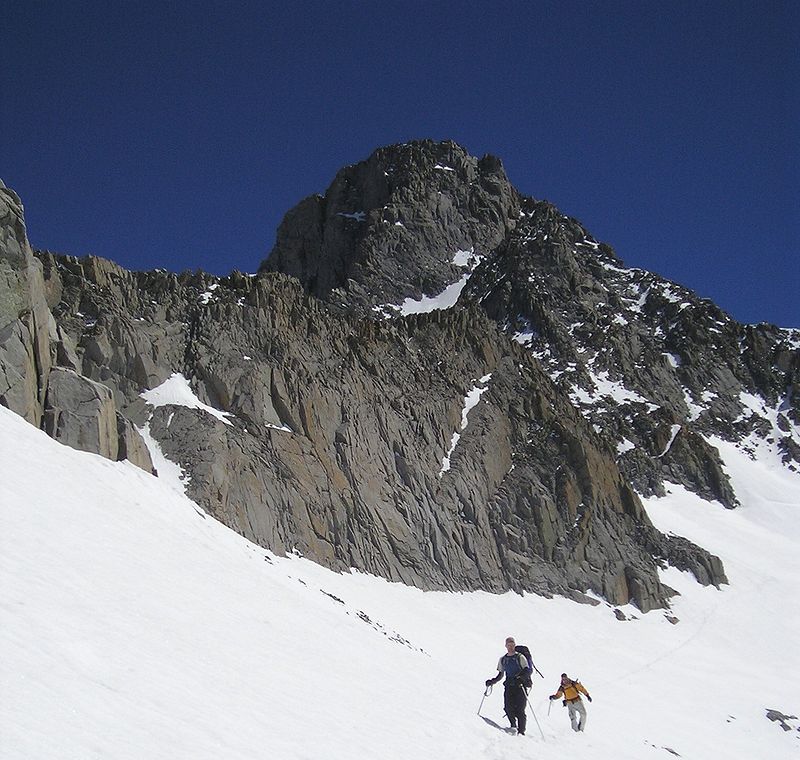
Mount Sill, Kings Canyon National Park

Gallery (2)
Map
Map
Gallery
Facts and practical information
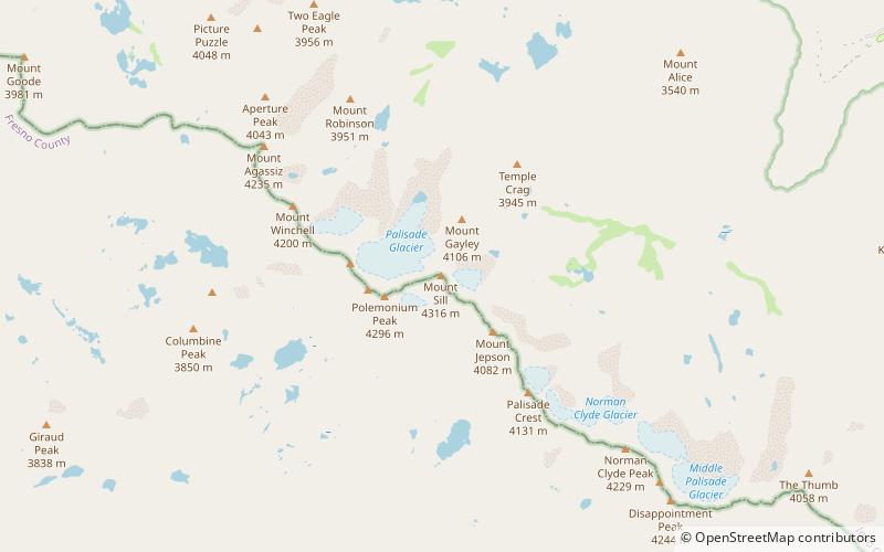
Mount Sill is one of the fourteeners of the Sierra Nevada in California. It is located in the Palisades, a group of striking rock peaks with a few small glaciers on their flanks. Mount Sill is located 0.6 miles east of North Palisade, the high point of the group. The two peaks are connected by a high, rocky ridge, on the north side of which lies the Palisade Glacier. Mount Sill lies on the main Sierra Crest, but is at a point where the crest turns sharply, giving it particularly striking summit views. On one side is Kings Canyon National Park and Fresno County; on the other is the John Muir Wilderness, Inyo National Forest and Inyo County. ()
Alternative names: First ascent: 1903Elevation: 14159 ftProminence: 353 ftCoordinates: 37°5'45"N, 118°30'11"W
Address
Kings Canyon National Park
ContactAdd
Social media
Add
Day trips


Frequently Asked Questions (FAQ)
Which popular attractions are close to Mount Sill?
Nearby attractions include Palisade Glacier, John Muir Wilderness (12 min walk), Palisades, John Muir Wilderness (16 min walk), North Palisade, Kings Canyon National Park (16 min walk), Thunderbolt Peak, John Muir Wilderness (22 min walk).