Harrison Township, Newark

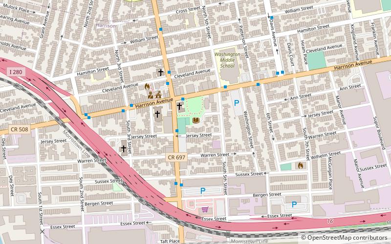
Map
Facts and practical information
Harrison Township was created by an act of the New Jersey Legislature on April 13, 1840, and was part of Hudson County which was created from portions of Bergen County, on February 22, 1840. ()
Coordinates: 40°44'45"N, 74°9'19"W
Address
270 Harrison AveHarrisonNewark
ContactAdd
Social media
Add
Day trips
Harrison Township – popular in the area (distance from the attraction)
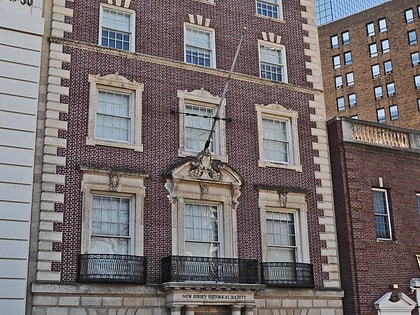
Nearby attractions include: Red Bull Arena, New Jersey Performing Arts Center, Aljira, New Jersey Historical Society.
Frequently Asked Questions (FAQ)
Which popular attractions are close to Harrison Township?
Nearby attractions include Harrison, Newark (6 min walk), East Newark, Newark (12 min walk), New Jersey Route 158, Newark (14 min walk), Bridge Street Bridge, Newark (15 min walk).
How to get to Harrison Township by public transport?
The nearest stations to Harrison Township:
Metro
Light rail
Bus
Train
Metro
- Harrison • Lines: Nwk–Wtc (12 min walk)
- Newark Penn Station • Lines: Nwk–Wtc (23 min walk)
Light rail
- NJPAC/Center Street • Lines: Nlr (18 min walk)
- Atlantic Street • Lines: Nlr (18 min walk)
Bus
- Newark Penn Bus Terminal (23 min walk)
- Newark Penn Station • Lines: 62 (23 min walk)
Train
- Newark Broad Street (23 min walk)
- Newark Penn Station (23 min walk)


