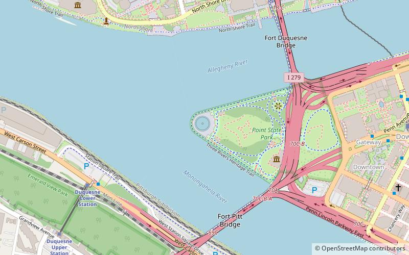
Three Rivers Park, Pittsburgh

Map
Facts and practical information
Three Rivers Park is a public urban waterfront park along the Allegheny, Monongahela, and Ohio Rivers in Pittsburgh, Pennsylvania. ()
Elevation: 712 ft a.s.l.Coordinates: 40°26'30"N, 80°0'46"W
Day trips
Three Rivers Park – popular in the area (distance from the attraction)
Nearby attractions include: Heinz Field, PNC Park, Highmark Stadium, Miniature Railroad & Village.
Frequently Asked Questions (FAQ)
Which popular attractions are close to Three Rivers Park?
Nearby attractions include Fort Pitt Block House, Pittsburgh (4 min walk), Point State Park, Pittsburgh (5 min walk), Point State Park, Pittsburgh (5 min walk), Fort Pitt Museum, Pittsburgh (5 min walk).
How to get to Three Rivers Park by public transport?
The nearest stations to Three Rivers Park:
Bus
Light rail
Train
Bus
- Liberty Ave at Wyndham Grand • Lines: Metro Commuter, P10 (10 min walk)
- Liberty Ave at Stanwix St • Lines: P10 (11 min walk)
Light rail
- North Side • Lines: Blue, Red, Silver (12 min walk)
- Allegheny • Lines: Blue, Red, Silver (13 min walk)
Train
- Pittsburgh Union Station (29 min walk)


