Industrial Canal Lock, New Orleans
Map
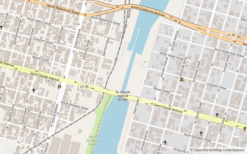
Map

Facts and practical information
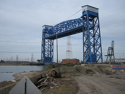
The Inner Harbor Navigation Canal Lock—commonly known as Industrial Canal Lock or simply Industrial Lock—is a navigation lock in New Orleans. It connects the Lower Mississippi River to the Industrial Canal and other sea-level waterways. Because it is shorter and narrower than most modern locks on the Mississippi River System, the 1920s vintage lock has become a bottleneck between the nation's two highest-tonnage waterways—the Mississippi and the Gulf Intracoastal Waterway. ()
Coordinates: 29°57'54"N, 90°1'39"W
Address
Bywater DistrictNew Orleans
ContactAdd
Social media
Add
Day trips
Industrial Canal Lock – popular in the area (distance from the attraction)
Nearby attractions include: Claiborne Avenue Bridge, Jackson Barracks, St. Claude Avenue Bridge, Florida Avenue Bridge.
Frequently Asked Questions (FAQ)
Which popular attractions are close to Industrial Canal Lock?
Nearby attractions include St. Claude Avenue Bridge, New Orleans (2 min walk), Lower 9th Ward Living Museum, New Orleans (7 min walk), Claiborne Avenue Bridge, New Orleans (8 min walk), Musicians' Village, New Orleans (19 min walk).


