St. Claude, New Orleans
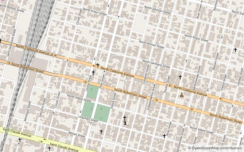
Map
Facts and practical information
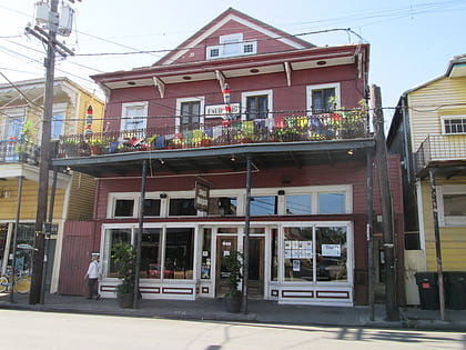
St. Claude is a neighborhood of the city of New Orleans. A subdistrict of the Bywater District Area, its boundaries as defined by the City Planning Commission are: Law, Montegut and North Galvez Streets to the north, Lesseps Street to the east, Burgundy Street, Clouet Street and St. Claude Avenue to the south and Franklin Avenue to the west. ()
Coordinates: 29°58'18"N, 90°2'20"W
Address
Bywater District (St. Claude)New Orleans
ContactAdd
Social media
Add
Day trips
St. Claude – popular in the area (distance from the attraction)
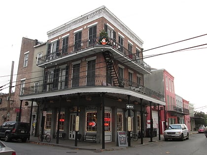
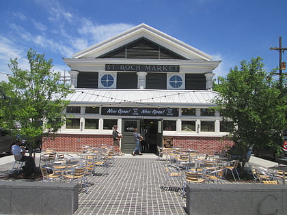
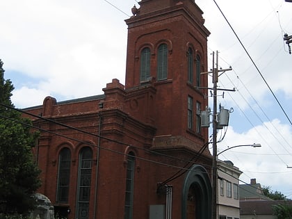
Nearby attractions include: New Orleans Mint, Snug Harbor, Marigny Opera House, New Orleans Jazz Museum.
Frequently Asked Questions (FAQ)
Which popular attractions are close to St. Claude?
Nearby attractions include Musicians' Village, New Orleans (10 min walk), Florida Area, New Orleans (16 min walk), Bywater, New Orleans (16 min walk), the mudlark public theatre, New Orleans (16 min walk).
How to get to St. Claude by public transport?
The nearest stations to St. Claude:
Tram
Tram
- French Market • Lines: 2 (34 min walk)

