Stately Pleasure Dome, Yosemite National Park

Gallery (4)
Map

Map
Gallery
Facts and practical information
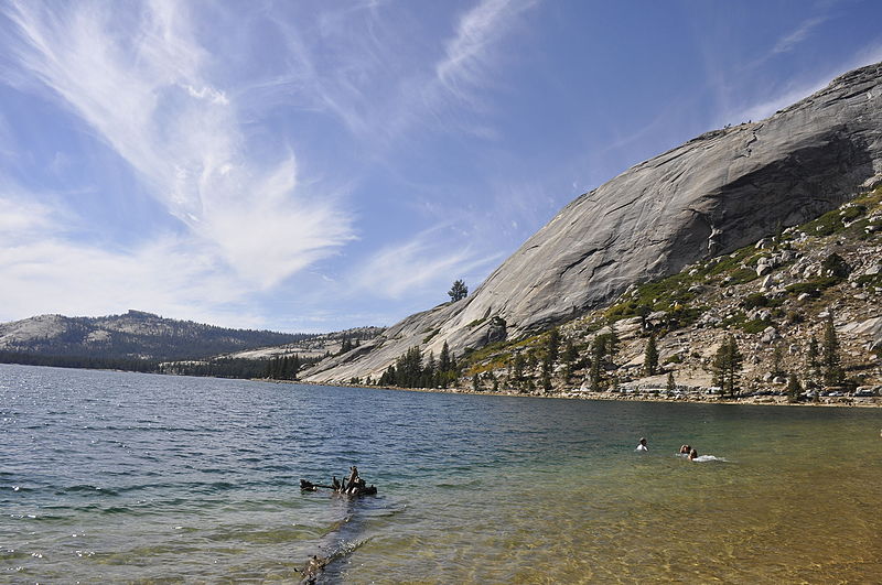
Stately Pleasure Dome is the unofficial name for the prominent south-southwestern portion of Polly Dome, a granite dome on the northwest side of Tenaya Lake and Tioga Road in the Yosemite high country. Stately Pleasure Dome consists of glaciated and exfoliated granite rock that rises steeply 900 feet from the lake shore; the very steep east side of the dome is popular with rock climbers, who gave the dome its name. ()
Coordinates: 37°50'18"N, 119°27'29"W
Address
Yosemite National Park
ContactAdd
Social media
Add
Day trips


