Whittenton Pond Dam, Taunton

Map
Facts and practical information
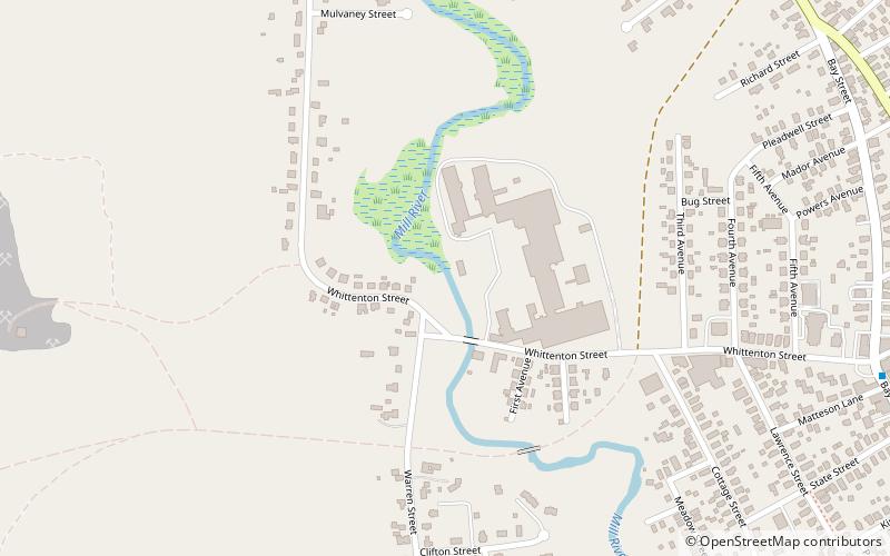
Whittenton Pond Dam or Whittenton Street Dam was a private earthen dam across the Mill River in Taunton, Massachusetts. ()
Coordinates: 41°55'27"N, 71°6'23"W
Address
Taunton (Whittenton)Taunton
ContactAdd
Social media
Add
Day trips
Whittenton Pond Dam – popular in the area (distance from the attraction)
Nearby attractions include: St. Mary's Complex, North Taunton Baptist Church, Union Congregational Church, Our Lady of the Holy Rosary Parish.
Frequently Asked Questions (FAQ)
Which popular attractions are close to Whittenton Pond Dam?
Nearby attractions include Union Congregational Church, Taunton (9 min walk), Hopewell Mills District, Taunton (22 min walk), North Taunton Baptist Church, Taunton (24 min walk).


