Tijuana River Valley, San Diego

Map
Facts and practical information
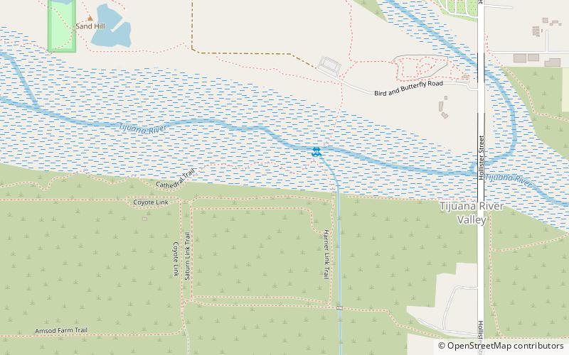
The Tijuana River Valley is a rural community in the southern section of San Diego, California. It neighbors Imperial Beach to the north and west, Egger Highlands and Nestor to the north, San Ysidro to the east, and the U.S.-Mexico border to the south. Major thoroughfares include Hollister Street, Monument Road, and Dairy Mart Road. ()
Coordinates: 32°33'5"N, 117°5'24"W
Day trips
Tijuana River Valley – popular in the area (distance from the attraction)
Nearby attractions include: Las Americas Premium Outlets, Chula Vista Center, San Ysidro Port of Entry, Aquatica.


