Seversville Park, Charlotte
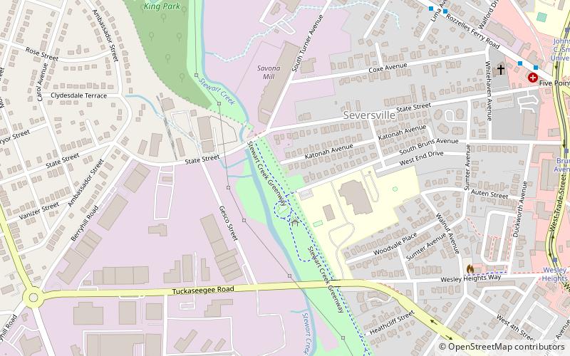
Map
Facts and practical information
Seversville Park is an urban park at 530 Bruns Avenue in the Seversville neighborhood of Charlotte, North Carolina. It features a playground with a swing garden, a picnic shelter, a water fountain, and walking trails. Seversville Park lies at the northern terminus of the Irwin-Stewart Creek Greenway. ()
Created: 2012Elevation: 650 ft a.s.l.Coordinates: 35°14'22"N, 80°52'1"W
Getting there by public transportation
Public transportation stops near this location
- Bus
- Tram
 Bus
Bus
- Calculate routeRozzelles Ferry Road at Lima Avenue 10 min walk
- Calculate routeBruns Avenue 13 min walk
- Calculate routeWesley Heights 13 min walk
- Calculate routeJohnson C. Smith University 14 min walk
- Calculate routeFrench Street 19 min walk
Day trips


Frequently Asked Questions (FAQ)
Which popular attractions are close to Seversville Park?
Nearby attractions include Biddleville, Charlotte (13 min walk), Wesley Heights Historic District, Charlotte (13 min walk), Biddle Memorial Hall, Charlotte (17 min walk), Frazier Park, Charlotte (18 min walk).
How to get to Seversville Park by public transport?
The nearest stations to Seversville Park:
Bus
Tram
Bus
- Rozzelles Ferry Road at Lima Avenue • Lines: 1 (10 min walk)
Tram
- Bruns Avenue • Lines: Gold (13 min walk)
- Wesley Heights • Lines: Gold (13 min walk)