Dunderberg Peak, Hoover Wilderness
Map

Map

Facts and practical information
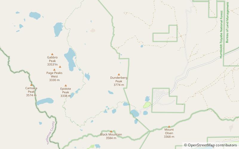
Dunderberg Peak is located east of the Sierra Nevada crest near the divide between the Mono Basin and East Walker River basin in Mono County, in eastern California in the southwestern United States. The peak is in the Hoover Wilderness and is the highest point in Humboldt-Toiyabe National Forest. ()
First ascent: 1878Elevation: 12379 ftProminence: 1334 ftCoordinates: 38°3'53"N, 119°16'26"W
Address
Hoover Wilderness
ContactAdd
Social media
Add
Day trips
Dunderberg Peak – popular in the area (distance from the attraction)
Nearby attractions include: Virginia Lakes, Sheperd Crest.


