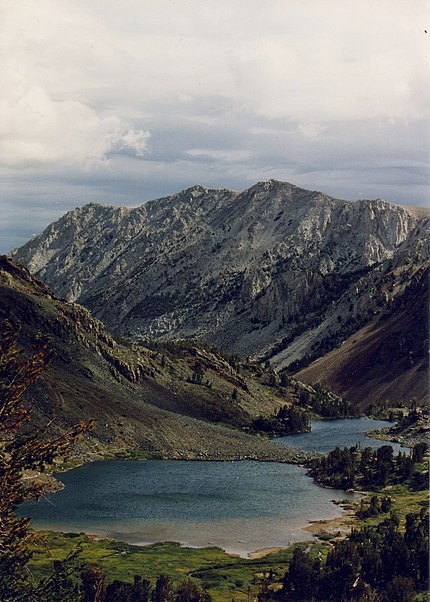
Virginia Lakes, Hoover Wilderness

Gallery (3)
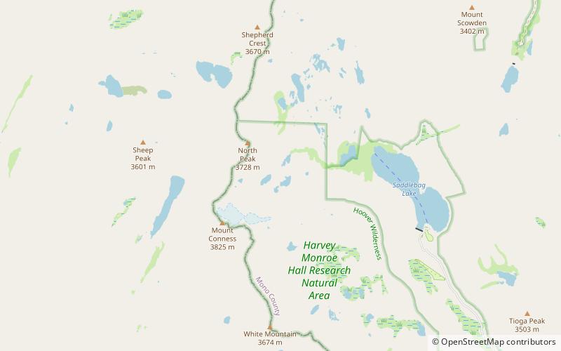
Map
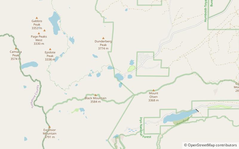
Map
Gallery
Facts and practical information
Virginia Lakes refers to a basin of lakes in the Eastern Sierra Nevada in Mono County, California. Virginia Lakes is located a few miles off U.S. Highway 395; the road to the lakes turns off U.S. 395 at Conway Summit, roughly halfway between Bridgeport, California, to the north and Lee Vining, California, to the south, in the Humboldt-Toiyabe National Forest. The name can also refer to two lakes within the basin: Little or Lower Virginia Lake and Upper or Big Virginia Lake. The area is part of the Virginia Lakes census-designated place. ()
Elevation: 9826 ft a.s.l.Coordinates: 38°2'53"N, 119°15'54"W
Day trips