Carlton Bridge, Bath

Map
Facts and practical information
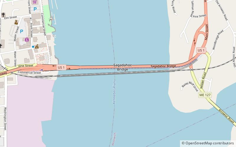
The Carlton Bridge is a railroad vertical-lift bridge which carries one rail line over the Kennebec River between Bath and Woolwich, Maine. It was completed in 1927. Until August 1, 2000, it also carried two lanes of U.S. Route 1 on its upper deck, after which the highway was transferred to the adjoining Sagadahoc Bridge and the road connection severed. The majority of the road deck remains but may be removed in the future. It is the last downstream fixed crossing of the Kennebec. ()
Coordinates: 43°54'41"N, 69°48'28"W
Address
Former U.S. Route 1Bath 04530/04579
ContactAdd
Social media
Add
Day trips
Carlton Bridge – popular in the area (distance from the attraction)
Nearby attractions include: Maine Maritime Museum, William T. Donnell House, Winter Street Church, Sagadahoc Bridge.
Frequently Asked Questions (FAQ)
Which popular attractions are close to Carlton Bridge?
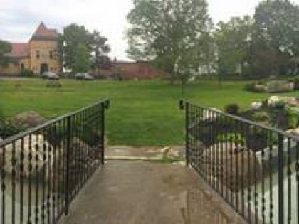
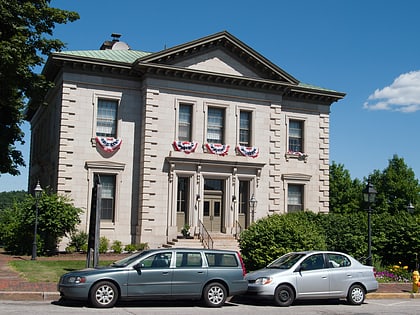
Nearby attractions include Sagadahoc Bridge, Bath (3 min walk), United States Customhouse and Post Office, Bath (10 min walk), Patten Free Library, Bath (12 min walk), The Chocolate Church Arts Center, Bath (12 min walk).
How to get to Carlton Bridge by public transport?
The nearest stations to Carlton Bridge:
Bus
Bus
- City Hall • Lines: North Loop (9 min walk)
- Patten Free Library • Lines: North Loop (12 min walk)


