Trufant Historic District, Bath
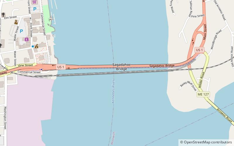
Map
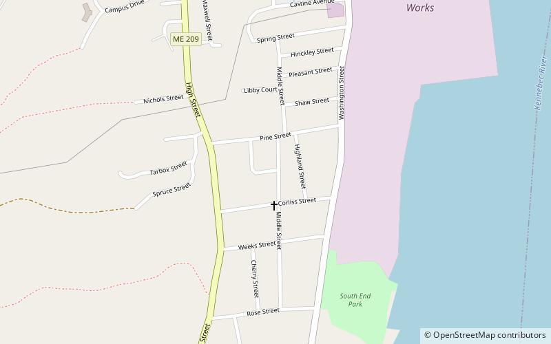
Map

Facts and practical information
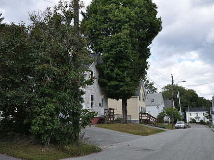
The Trufant Historic District encompasses a concentration of 19th-century middle-class residential housing on the south side of Bath, Maine. This area was most heavily developed during Bath's heyday as a major shipbuilding center, and includes numerous examples of Greek Revival and Italianate styling. It was listed on the National Register of Historic Places in 2004. ()
Coordinates: 43°54'2"N, 69°49'5"W
Address
Bath
ContactAdd
Social media
Add
Day trips
Trufant Historic District – popular in the area (distance from the attraction)
Nearby attractions include: Maine Maritime Museum, William T. Donnell House, Winter Street Church, Carlton Bridge.
Frequently Asked Questions (FAQ)
Which popular attractions are close to Trufant Historic District?
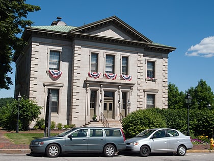
Nearby attractions include William T. Donnell House, Bath (10 min walk), Maine Maritime Museum, Bath (13 min walk), United States Customhouse and Post Office, Bath (21 min walk), The Chocolate Church Arts Center, Bath (22 min walk).
How to get to Trufant Historic District by public transport?
The nearest stations to Trufant Historic District:
Bus
Bus
- Bath Concord Trailways Bus Station • Lines: Midcoast Maine < > Boston and Lo (20 min walk)
- Shaw's • Lines: North Loop (21 min walk)
