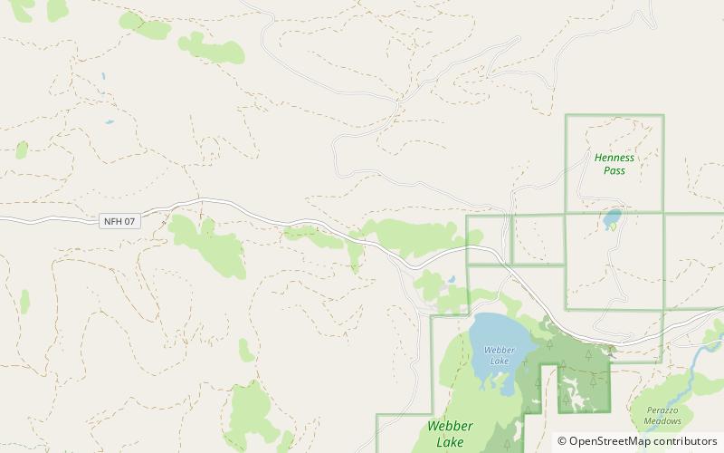
Henness Pass, Tahoe National Forest
Map
Facts and practical information
Henness Pass, elevation 6,916 ft, is a mountain pass northwest of Reno on the crest of the Sierra Nevada range in Sierra County, California. The pass is traversed by Henness Pass Road, a mostly unpaved road not generally passable by automobiles in winter. Portions of the road are recommended for high clearance vehicles only. ()
Maximum elevation: 6916 ftCoordinates: 39°30'10"N, 120°26'20"W
Address
Tahoe National Forest
ContactAdd
Social media
Add
Day trips
Henness Pass – popular in the area (distance from the attraction)
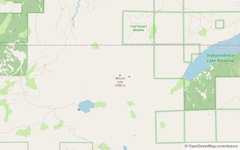
Nearby attractions include: Mount Lola.