Mount Lola, Tahoe National Forest

Map
Facts and practical information
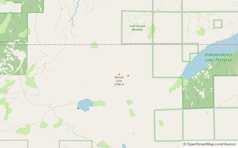
Mount Lola is a mountain in the Sierra Nevada of California. Its summit, located north of Donner Pass and Interstate 80, is the highest point in Nevada County. It is also the highest point in the Sierra Nevada north of Interstate 80. A subsidiary peak 1.2 miles north of the main summit is highest point in Sierra County at 8,848 feet NAVD 88. ()
Elevation: 9147 ftProminence: 2068 ftCoordinates: 39°25'59"N, 120°21'54"W
Address
Tahoe National Forest
ContactAdd
Social media
Add
Day trips
Mount Lola – popular in the area (distance from the attraction)
Nearby attractions include: Castle Peak, Henness Pass, Little Truckee Summit.


