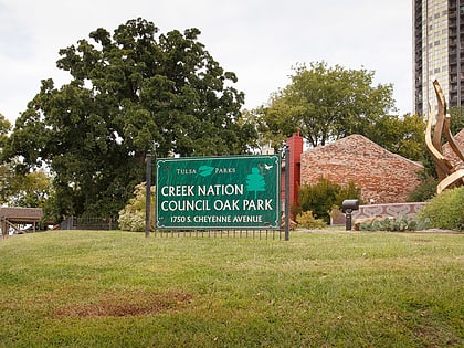
Creek Council Oak Tree, Tulsa
Map
Gallery
Facts and practical information
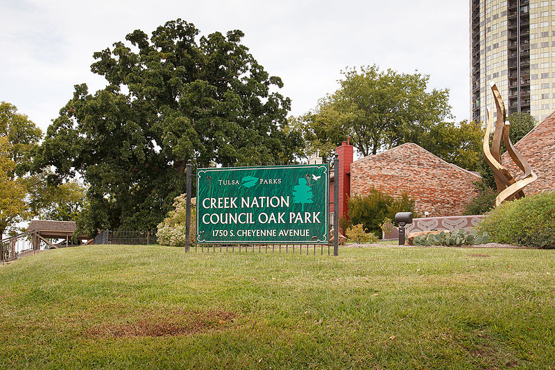
The Creek Council Oak Tree is a historic landmark which represents the founding of the modern city of Tulsa, Oklahoma, United States by the Lochapoka Tribal Town of the Creek Nation. ()
Coordinates: 36°8'10"N, 95°59'24"W
Address
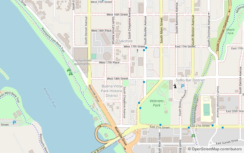
18th St. and Cheyenne AveMidtown (Riverview)Tulsa
ContactAdd
Social media
Add
Day trips
Creek Council Oak Tree – popular in the area (distance from the attraction)
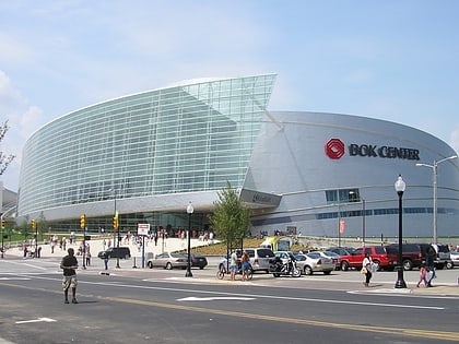
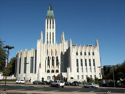
Nearby attractions include: BOK Center, Cox Business Convention Center, Boston Avenue United Methodist Church, Woodward Park.
Frequently Asked Questions (FAQ)
Which popular attractions are close to Creek Council Oak Tree?
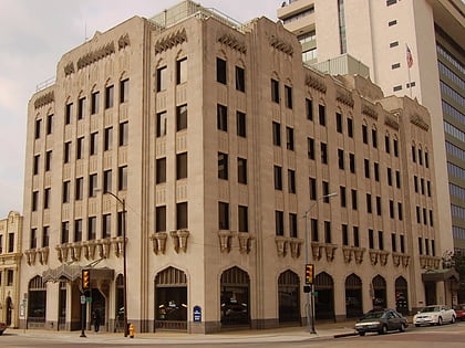
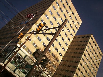
Nearby attractions include Buena Vista Park Historic District, Tulsa (2 min walk), University Club Tower, Tulsa (3 min walk), Liberty Tower, Tulsa (8 min walk), Harwelden Mansion, Tulsa (8 min walk).
How to get to Creek Council Oak Tree by public transport?
The nearest stations to Creek Council Oak Tree:
Bus
Bus
- 21st Street South • Lines: 700, 805 (22 min walk)
- 16th Street South • Lines: 700, 805 (22 min walk)
