11th Street Bridge, Tulsa
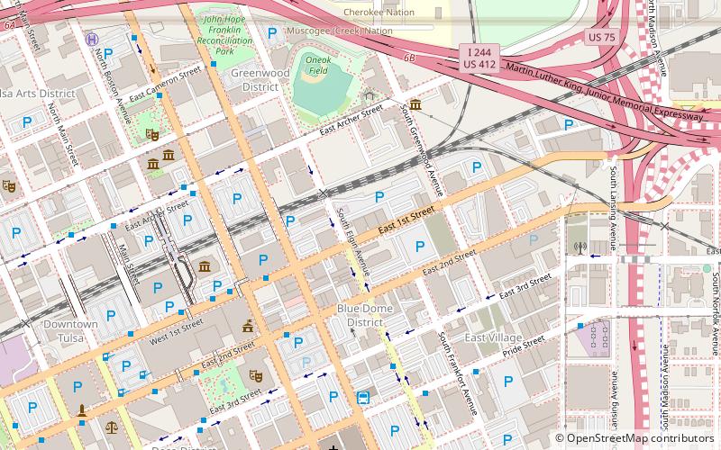
Map
Map

Facts and practical information
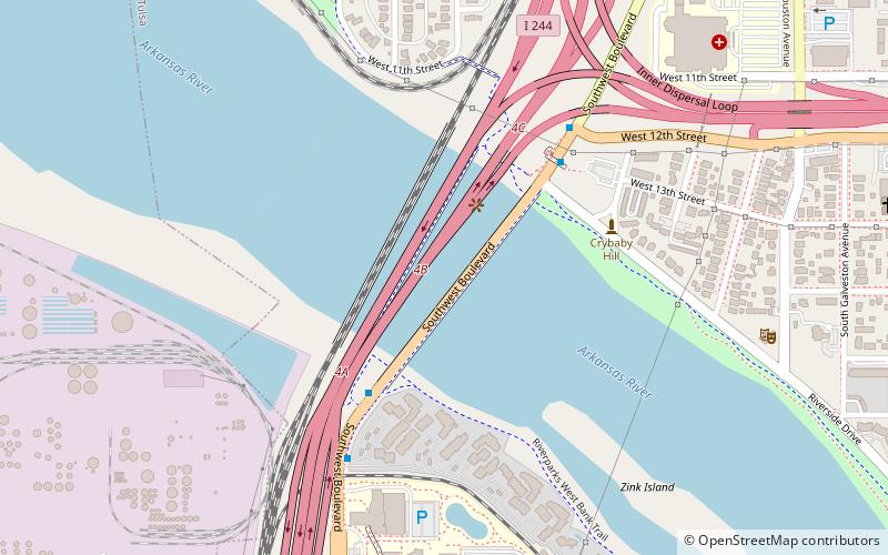
The 11th Street Bridge was completed in December 1915 to carry vehicles across the Arkansas River at Tulsa, Oklahoma. Used from 1916 to 1972, it was also a part of U.S. Route 66. Functionally, it has been replaced by the I-244 bridges across the Arkansas. At present, the bridge is in poor structural condition and unsafe even for pedestrians. In 2008, the gates were locked to exclude all visitors. ()
Built: 1915 (111 years ago)Coordinates: 36°8'34"N, 96°0'18"W
Day trips
11th Street Bridge – popular in the area (distance from the attraction)
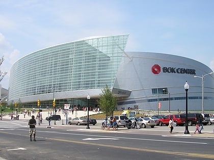
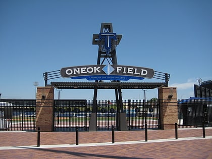
Nearby attractions include: BOK Center, ONEOK Field, Cox Business Convention Center, McNellie's.
Frequently Asked Questions (FAQ)
Which popular attractions are close to 11th Street Bridge?
Nearby attractions include McBirney Mansion, Tulsa (11 min walk), Holy Trinity Greek Orthodox Church, Tulsa (13 min walk), West Tulsa, Tulsa (14 min walk), Tulsa Cave House, Tulsa (19 min walk).
How to get to 11th Street Bridge by public transport?
The nearest stations to 11th Street Bridge:
Bus
Bus
- Denver Avenue Station • Lines: 110, 114, 117, 130, 140, 150, 201, 700, 804, 805 (23 min walk)
- 2nd Street South • Lines: 130, 700, 805 (29 min walk)

