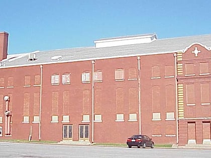
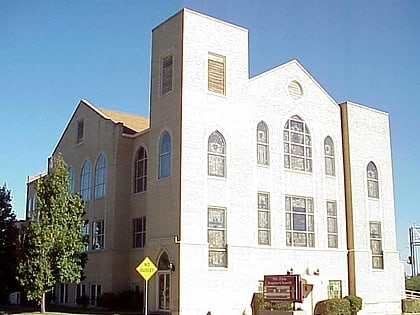
Owen Park, Tulsa
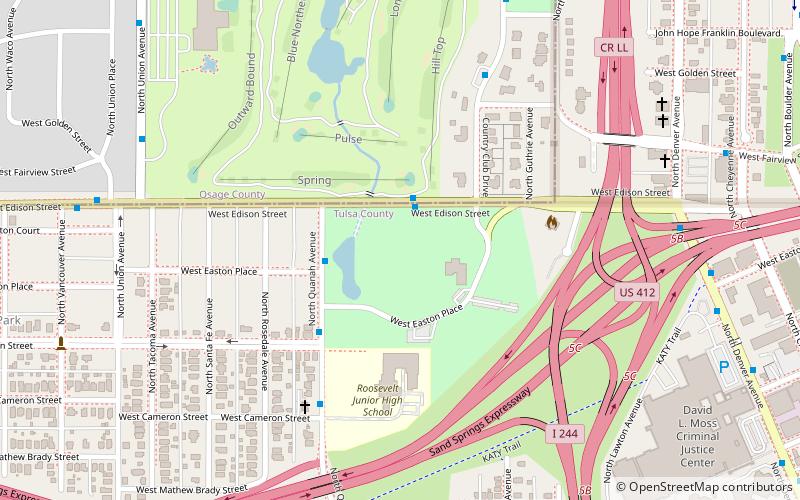
Map
Map

Facts and practical information
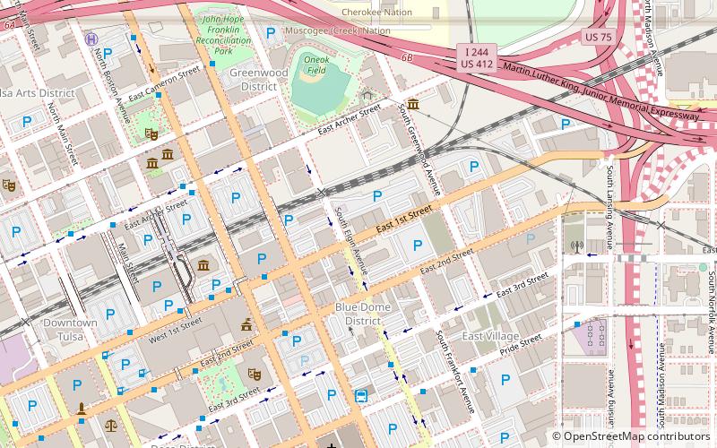
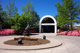
Owen Park is a residential neighborhood and historic district in Tulsa, Oklahoma. Its borders are Edison Avenue on the north, the municipal Owen Park on the east, the Keystone Expressway on the south, and Zenith Avenue on the west. Opened on June 8, 1910, it was Tulsa's first municipal park. The district covers 163.48 acres, while Owen Park itself covers 24 acres on the east side of the District. ()
Built: 1910 (116 years ago)Elevation: 689 ft a.s.l.Coordinates: 36°9'38"N, 96°0'19"W
Address
Westside (Owen Park)Tulsa
ContactAdd
Social media
Add
Day trips
Owen Park – popular in the area (distance from the attraction)
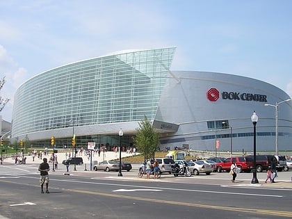
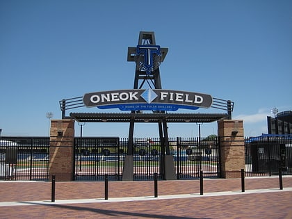
Nearby attractions include: BOK Center, ONEOK Field, Cox Business Convention Center, McNellie's.
Frequently Asked Questions (FAQ)
Which popular attractions are close to Owen Park?
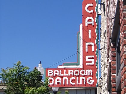
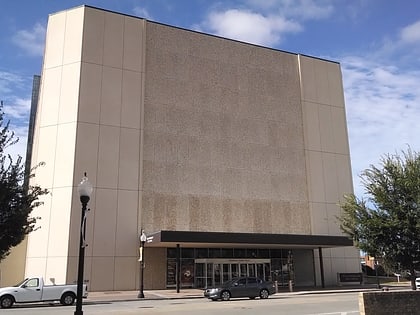
Nearby attractions include Tulsa Theater, Tulsa (15 min walk), Brady Heights, Tulsa (16 min walk), Cain's Ballroom, Tulsa (16 min walk), Immaculate Conception Church, Tulsa (17 min walk).
How to get to Owen Park by public transport?
The nearest stations to Owen Park:
Bus
Bus
- Denver Avenue Station • Lines: 110, 114, 117, 130, 140, 150, 201, 700, 804, 805 (23 min walk)
- 1st Street • Lines: 700 (24 min walk)

