Klondike Peak, Bridger Wilderness
Map
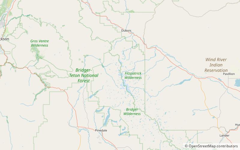
Map

Facts and practical information
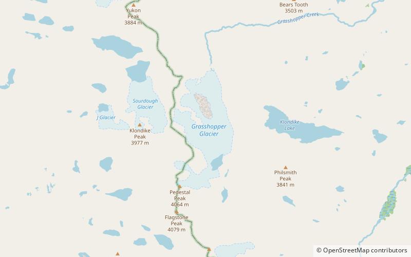
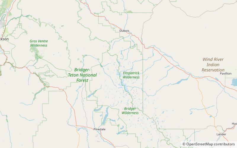
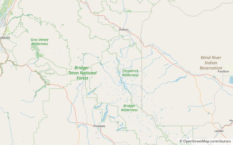
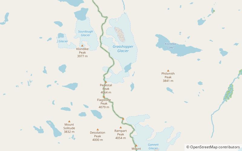
Klondike Peak is located in the northern Wind River Range in the U.S. state of Wyoming. Situated 4 mi north of Gannett Peak, Klondike Peak is within the Bridger Wilderness of Bridger-Teton National Forest and west of the Continental Divide. The summit of Klondike Peak is partially capped by a small glacier and the northwest flank of the peak is the origination point of J Glacier, while Sourdough Glacier lies just to the northeast. Klondike Peak is the 26th tallest peak in Wyoming. ()
First ascent: 1961Elevation: 13120 ftProminence: 664 ftCoordinates: 43°14'11"N, 109°41'17"W
Address
Bridger Wilderness
ContactAdd
Social media
Add
Day trips
Klondike Peak – popular in the area (distance from the attraction)
Nearby attractions include: Grasshopper Glacier, Sourdough Glacier, J Glacier, Klondike Glacier.
Frequently Asked Questions (FAQ)
Which popular attractions are close to Klondike Peak?
Nearby attractions include Sourdough Glacier, Bridger Wilderness (9 min walk), J Glacier, Bridger Wilderness (13 min walk).

