Gannett Peak, Fitzpatrick Wilderness
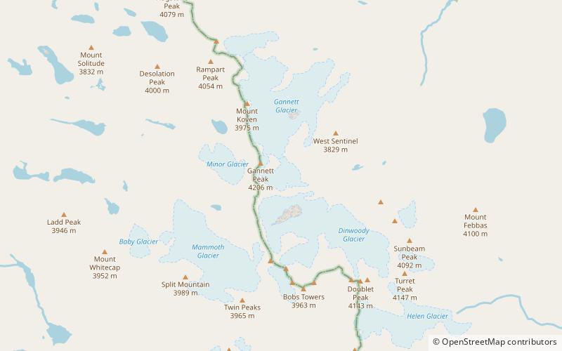
Map
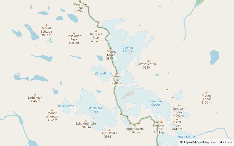
Map

Facts and practical information
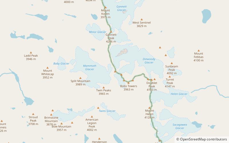
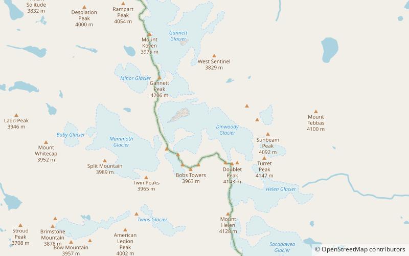
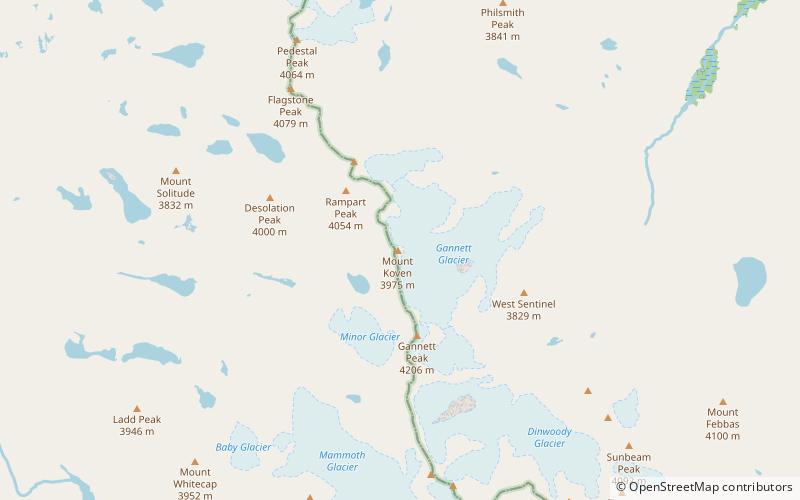
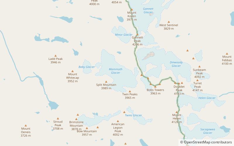
Gannett Peak is the highest mountain peak in the U.S. state of Wyoming at 13,804 feet. It lies in the Wind River Range within the Bridger Wilderness of the Bridger-Teton National Forest. Straddling the Continental Divide along the boundary between Fremont and Sublette counties, it has the second greatest topographic prominence in the state after Cloud Peak, and is the highest ground for 290.36 miles in any direction. ()
Alternative names: First ascent: 1922Elevation: 13810 ftProminence: 7077 ftCoordinates: 43°11'4"N, 109°39'14"W
Address
Fitzpatrick Wilderness
ContactAdd
Social media
Add
Day trips
Gannett Peak – popular in the area (distance from the attraction)
Nearby attractions include: Wind River Range, Gannett Glacier, Minor Glacier, Mount Woodrow Wilson.
Frequently Asked Questions (FAQ)
Which popular attractions are close to Gannett Peak?
Nearby attractions include Wind River Range, Fitzpatrick Wilderness (2 min walk), Gooseneck Glacier, Fitzpatrick Wilderness (8 min walk), Minor Glacier, Bridger Wilderness (12 min walk), Mount Koven, Fitzpatrick Wilderness (20 min walk).


