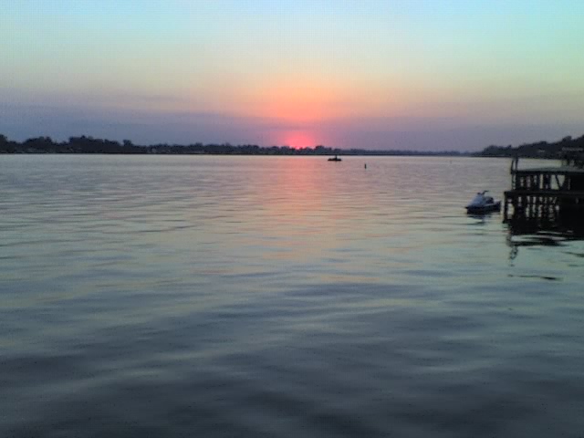
False River, New Roads

Gallery (2)
Map
Map
Gallery
Facts and practical information
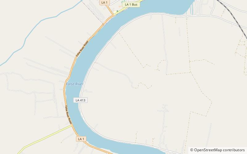
False River is an oxbow lake located in southeastern Pointe Coupee Parish, Louisiana centered at 30°38′19″N 91°29′04″W This lake was once the main channel of the Mississippi River in this area, but was cut off in about 1722 when seasonal flooding cut a shorter channel to the east. ()
Area: 5.02 mi²Elevation: 26 ft a.s.l.Coordinates: 30°39'9"N, 91°27'23"W
Address
New Roads
ContactAdd
Social media
Add
Day trips
False River – popular in the area (distance from the attraction)
Nearby attractions include: Pointe Coupee Parish Library II.
