Downtown Dallas, Dallas
Map
Gallery
Facts and practical information
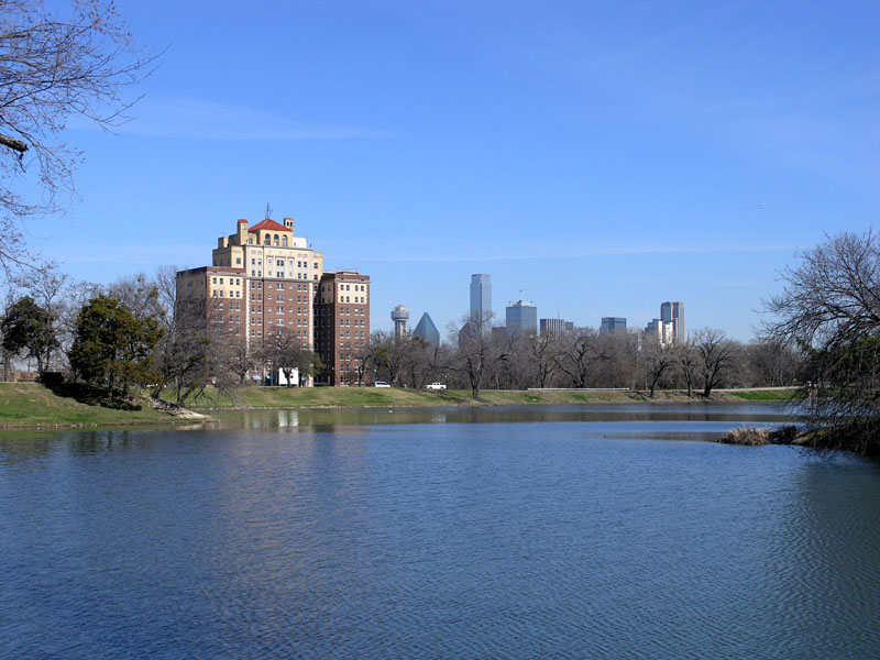
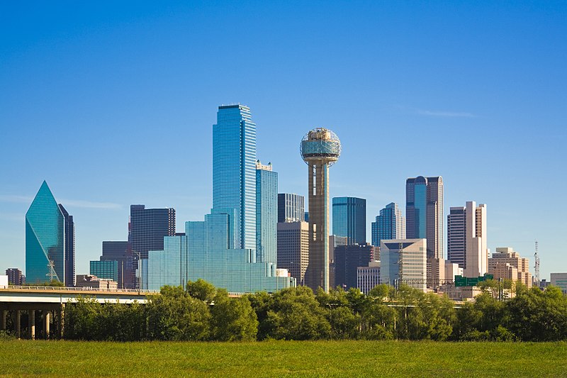
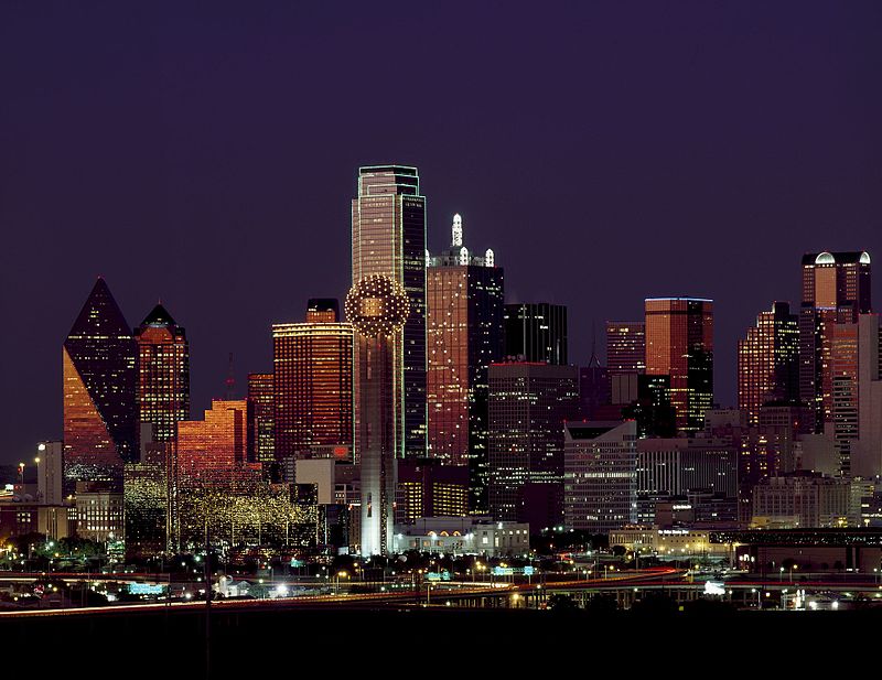
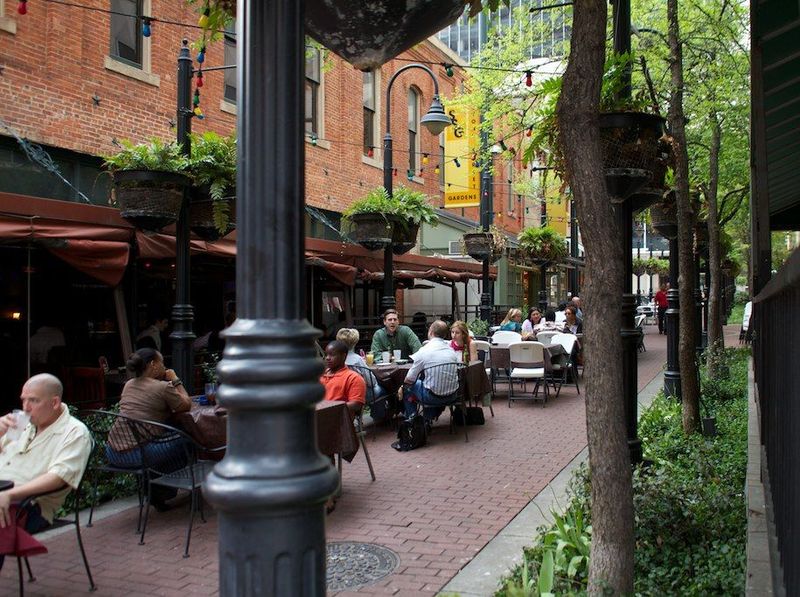
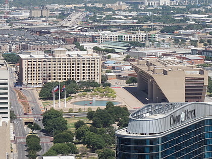
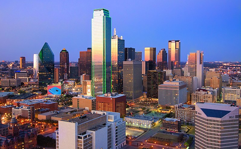
Downtown Dallas is the central business district of Dallas, Texas, United States, located in the geographic center of the city. It is the second-largest business district in the state of Texas. The area termed "Downtown" has traditionally been defined as bounded by the downtown freeway loop, bounded on the east by I-345 (although known and signed as the northern terminus of I-45 and the southern terminus of US 75, on the west by I-35E, on the south by I-30, and on the north by Spur 366. ()
Day trips
Downtown Dallas – popular in the area (distance from the attraction)
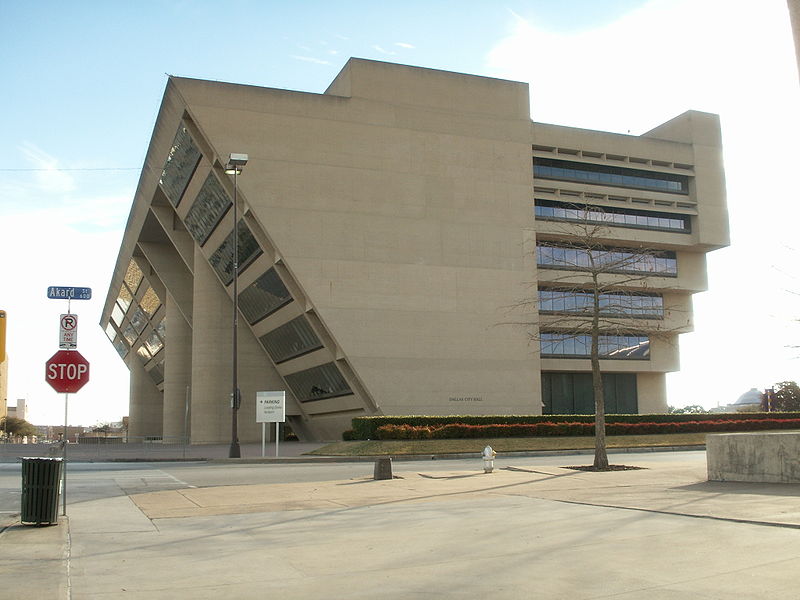
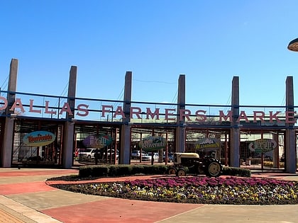
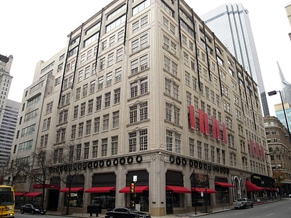
Nearby attractions include: The Bomb Factory, Dallas Farmers Market, Neiman Marcus, Dallas City Hall.
Frequently Asked Questions (FAQ)
Which popular attractions are close to Downtown Dallas?
Nearby attractions include Pegasus Plaza, Dallas (3 min walk), Mercantile National Bank Building, Dallas (3 min walk), J. Erik Jonsson Central Library, Dallas (4 min walk), Dallas Downtown Historic District, Dallas (4 min walk).
How to get to Downtown Dallas by public transport?
The nearest stations to Downtown Dallas:
Light rail
Tram
Bus
Train
Light rail
- Akard • Lines: Blue, Green, Orange, Red (6 min walk)
- Saint Paul • Lines: Blue, Green, Orange, Red (8 min walk)
Tram
- Saint Paul & Federal • Lines: 825 (9 min walk)
- Federal & Olive • Lines: 825 (11 min walk)
Bus
- D • Lines: 110, 111, 205, 210 (9 min walk)
- E • Lines: 110, 111, 205, 210 (9 min walk)
Train
- Convention Center (15 min walk)
- Dallas Union Station (17 min walk)


