Thanks-Giving Square, Dallas
Map
Gallery
Facts and practical information
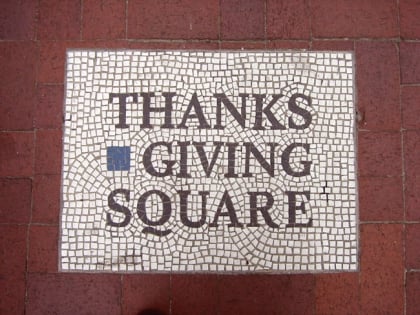
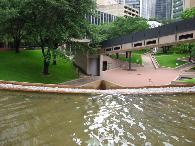
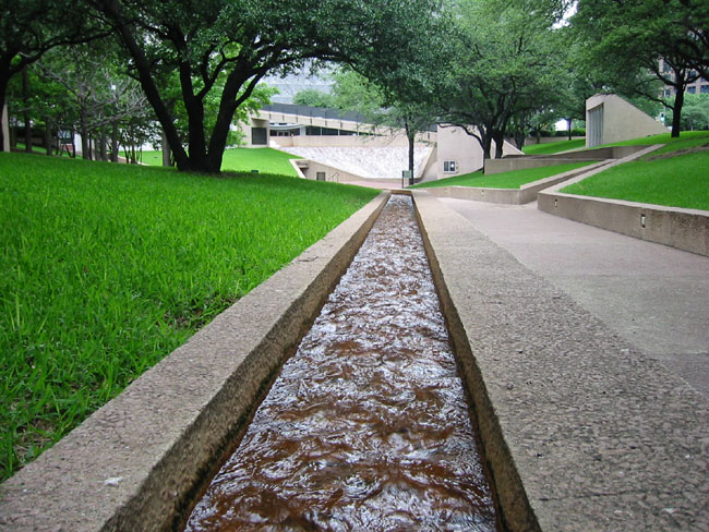
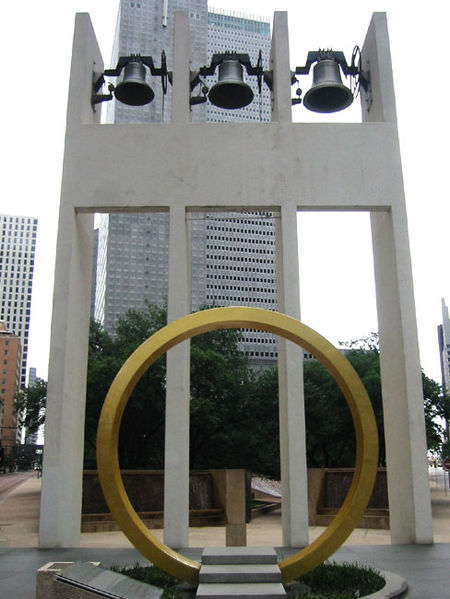
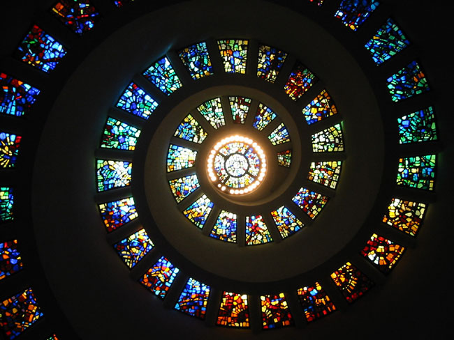
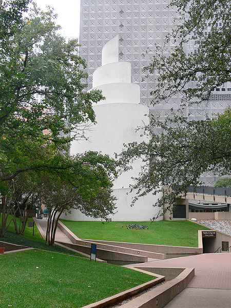
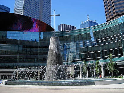
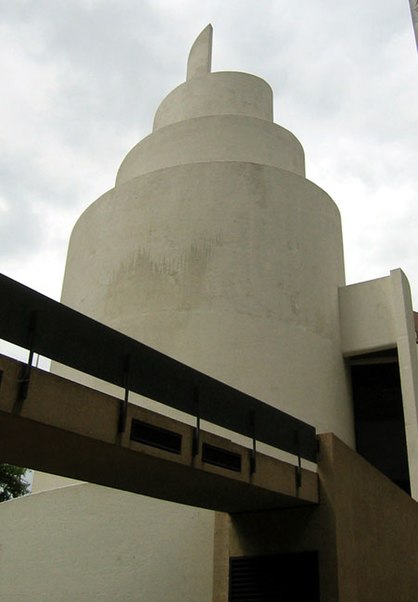
Thanks-Giving Square is a private park and public facility anchoring the Thanksgiving Commercial Center district of downtown Dallas, Texas, United States. Dedicated in 1976, the complex consists of three components: a landscaped garden and non-denominational chapel building, a major section of the underground pedestrian network, and the Bullington Truck Terminal. It was the first public-private partnership of its kind in Dallas. ()
Created: 1976Elevation: 443 ft a.s.l.Coordinates: 32°46'57"N, 96°47'55"W
Day trips
Thanks-Giving Square – popular in the area (distance from the attraction)
Nearby attractions include: The Bomb Factory, American Airlines Center, Dallas Farmers Market, Neiman Marcus.
Frequently Asked Questions (FAQ)
When is Thanks-Giving Square open?
Thanks-Giving Square is open:
- Monday 7 am - 11 pm
- Tuesday 7 am - 11 pm
- Wednesday 7 am - 11 pm
- Thursday 7 am - 11 pm
- Friday 7 am - 11 pm
- Saturday 7 am - 11 pm
- Sunday 7 am - 11 pm
Which popular attractions are close to Thanks-Giving Square?
Nearby attractions include Republic Center, Dallas (2 min walk), Comerica Bank Tower, Dallas (4 min walk), Davis Building, Dallas (4 min walk), One Dallas Center, Dallas (4 min walk).
How to get to Thanks-Giving Square by public transport?
The nearest stations to Thanks-Giving Square:
Tram
Light rail
Bus
Train
Tram
- Saint Paul & Federal • Lines: 825 (4 min walk)
- Federal & Olive • Lines: 825 (7 min walk)
Light rail
- Akard • Lines: Blue, Green, Orange, Red (4 min walk)
- Saint Paul • Lines: Blue, Green, Orange, Red (4 min walk)
Bus
- M • Lines: 19 (8 min walk)
- N • Lines: 19 (8 min walk)
Train
- Convention Center (19 min walk)
- Dallas Union Station (19 min walk)
