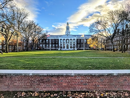
Peabody Terrace, Boston
Map

Map

Facts and practical information
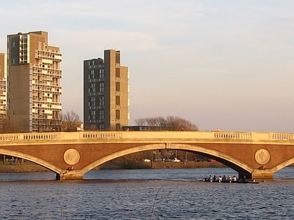
Peabody Terrace, on the north bank of the Charles River in Cambridge, Massachusetts, is a Harvard University housing complex primarily serving graduate students, particularly married students and their families. Designed in the brutalist style and constructed in 1964, its three-story perimeter grows to five and seven stories within, with three interior 22-story towers. ()
Elevation: 13 ft a.s.l.Coordinates: 42°21'57"N, 71°6'55"W
Day trips
Peabody Terrace – popular in the area (distance from the attraction)
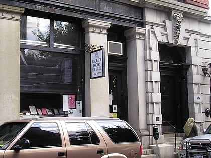
Nearby attractions include: Harvard Lampoon Building, Grolier Poetry Bookshop, Quincy House, Dunster House.
Frequently Asked Questions (FAQ)
Which popular attractions are close to Peabody Terrace?
Nearby attractions include Western Avenue Bridge, Boston (4 min walk), Dunster House, Boston (5 min walk), Memorial Drive, Boston (6 min walk), John W. Weeks Bridge, Boston (6 min walk).
How to get to Peabody Terrace by public transport?
The nearest stations to Peabody Terrace:
Bus
Metro
Light rail
Bus
- Mt Auburn St @ Putnam Ave • Lines: 1 (8 min walk)
- Massachusetts Ave @ Hancock St • Lines: 1 (10 min walk)
Metro
- Central Square • Lines: Red (16 min walk)
- Harvard • Lines: Red (16 min walk)
Light rail
- Babcock Street • Lines: B (26 min walk)
- Amory Street • Lines: B (27 min walk)

 MBTA Subway
